Lincolnia night lights from space
Night Light of Lincolnia (Virginia) from space (United States) Src. Average luminocity for 10x10km area is 94.0544% and for 50x50km: 73.9265%.
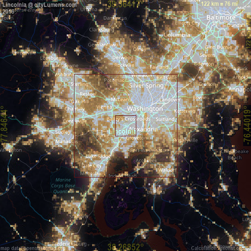
Analysis of Lincolnia night lights 2016
Square area 10x10 km:
 45.41%
90-99
27.55%80-89
15.65%70-79
11.39%60-69
0%50-59
0%40-49
0%30-39
0%20-29
0%10-19
0%0-9
0%Square area 50x50 km:
23.01%90-99
16.86%80-89
10.19%70-79
12.45%60-69
11.05%50-59
7.48%40-49
4.6%30-39
5.06%20-29
4.59%10-19
3.8%0-9
0.91%Clear (daylight) street map image can be seen on geolist.org.
Map coordinates:
39° 21' 51" North, 77° 50' 47.2" West
38° 49' 6.4" North, 77° 8' 35.9" West
38° 16' 6.7" North, 76° 26' 24.7" West
Some cities around Lincolnia sort by population:
• Annandale
4.8 km =3 mi,  286°
286°
• Springfield
5 km =3.1 mi,  229°
229°
• Baileys Crossroads
3.7 km =2.3 mi,  18°
18°
• Rose Hill
4.2 km =2.6 mi,  141°
141°
• Franconia
4.1 km =2.5 mi,  183°
183°
• Lake Barcroft
3.4 km =2.1 mi,  341°
341°
• Seven Corners
6.1 km =3.8 mi,  350°
350°
• North Springfield
5.5 km =3.4 mi,  253°
253°
4769608 (p: 22,855)
Sources (retrieved 2019-11-25):
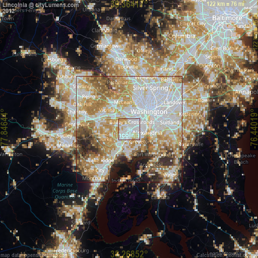
» Earth at Night: Flat Maps 2012, 2016