Corvallis night lights from space
Night Light of Corvallis (Oregon) from space (United States) Src. Average luminocity for 10x10km area is 32.9848% and for 50x50km: 4.2219%.
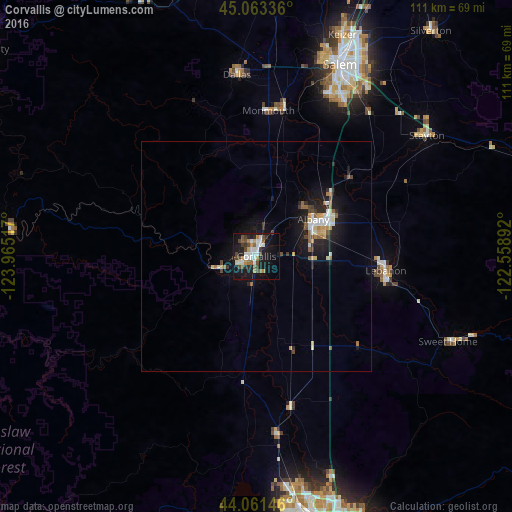
Analysis of Corvallis night lights 2016
Square area 10x10 km:
 6.06%
6.06%90-99
7.88%80-89
0.76%70-79
2.58%60-69
3.64%50-59
4.39%40-49
7.73%30-39
3.94%20-29
4.39%10-19
34.39%0-9
24.24%Square area 50x50 km:
0.57%90-99
0.8%80-89
0.29%70-79
0.41%60-69
0.49%50-59
0.54%40-49
0.58%30-39
0.43%20-29
0.89%10-19
4.32%0-9
90.69%Clear (daylight) street map image can be seen on geolist.org.
Map coordinates:
45° 3' 48.1" North, 123° 57' 54.6" West
44° 33' 52.5" North, 123° 15' 43.3" West
44° 3' 41.3" North, 122° 33' 32.1" West
Some cities around Corvallis sort by population:
• Salem
45.7 km =28.4 mi,  23°
23°
• Albany
14.7 km =9.1 mi,  57°
57°
• Lebanon
28.3 km =17.6 mi,  96°
96°
• Dallas
39.7 km =24.7 mi,  353°
353°
• Monmouth
31.6 km =19.6 mi,  4°
4°
• Independence
32.4 km =20.1 mi,  10°
10°
• Stayton
45.3 km =28.1 mi,  54°
54°
• Junction City
38.7 km =24 mi,  173°
173°
5720727 (p: 55,780)
Sources (retrieved 2019-11-25):
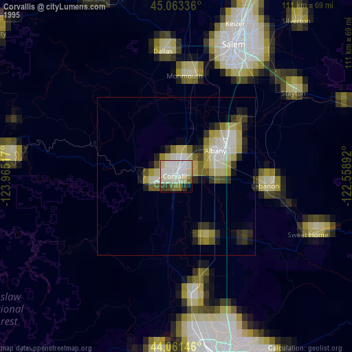
» NASA, Earths city lights 1995
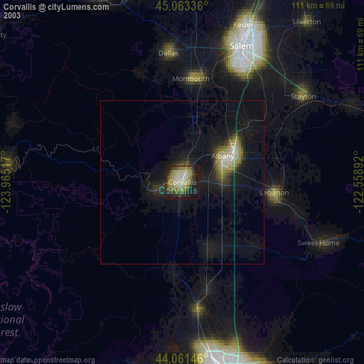
» NASA city lights 2003
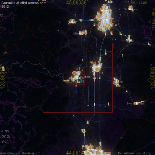
» Earth at Night: Flat Maps 2012, 2016