Cottage Grove night lights from space
Night Light of Cottage Grove (Oregon) from space (United States) Src. Average luminocity for 10x10km area is 9.4742% and for 50x50km: 1.4626%.
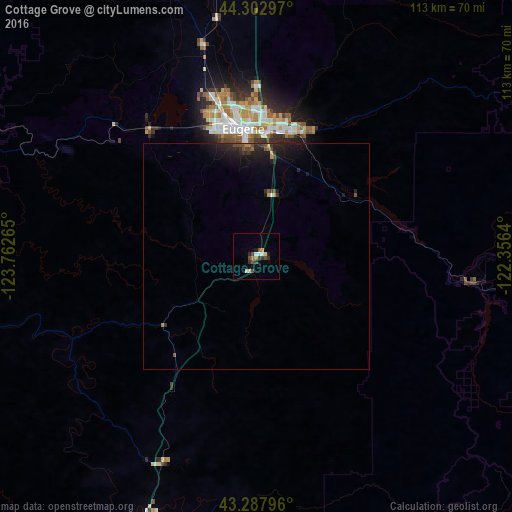
Analysis of Cottage Grove night lights 2016
Square area 10x10 km:
 0.76%
0.76%90-99
1.36%80-89
1.52%70-79
0.61%60-69
1.21%50-59
0.61%40-49
2.73%30-39
2.42%20-29
1.52%10-19
1.21%0-9
86.06%Square area 50x50 km:
0.04%90-99
0.07%80-89
0.09%70-79
0.14%60-69
0.16%50-59
0.18%40-49
0.36%30-39
0.36%20-29
0.7%10-19
1.83%0-9
96.07%Clear (daylight) street map image can be seen on geolist.org.
Map coordinates:
44° 18' 10.7" North, 123° 45' 45.5" West
43° 47' 51.4" North, 123° 3' 34.3" West
43° 17' 16.7" North, 122° 21' 23" West
Some cities around Cottage Grove sort by population:
• Eugene
28.4 km =17.6 mi,  355°
355°
• Springfield
27.8 km =17.3 mi,  6°
6°
• Roseburg
68.5 km =42.6 mi,  199°
199°
• Sweet Home
71.5 km =44.4 mi,  21°
21°
• Sutherlin
49.7 km =30.9 mi, 204°
• Roseburg North
62.4 km =38.8 mi, 198°
• Junction City
48.3 km =30 mi,  346°
346°
• Creswell
13.7 km =8.5 mi, 11°
5720755 (p: 9,969)
Sources (retrieved 2019-11-25):
» Earth at Night: Flat Maps 2012, 2016