Southfield night lights from space
Night Light of Southfield (Michigan) from space (United States) Src. Average luminocity for 10x10km area is 95.1571% and for 50x50km: 84.8618%.
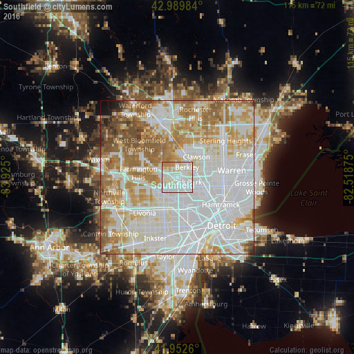
Analysis of Southfield night lights 2016
Square area 10x10 km:
 43.49%
90-99
38.89%80-89
10.32%70-79
3.97%60-69
3.33%50-59
0%40-49
0%30-39
0%20-29
0%10-19
0%0-9
0%Square area 50x50 km:
35.6%90-99
22.54%80-89
8.25%70-79
9.88%60-69
11.33%50-59
7.03%40-49
2.84%30-39
1.05%20-29
0.59%10-19
0.67%0-9
0.22%Clear (daylight) street map image can be seen on geolist.org.
Map coordinates:
42° 59' 23.4" North, 83° 55' 30" West
42° 28' 24.1" North, 83° 13' 18.7" West
41° 57' 9.4" North, 82° 31' 7.5" West
Some cities around Southfield sort by population:
• Royal Oak
6.6 km =4.1 mi,  74°
74°
• Oak Park
3.6 km =2.2 mi,  115°
115°
• Birmingham
8.2 km =5.1 mi,  6°
6°
• Ferndale
7.3 km =4.5 mi,  101°
101°
• Berkley
4.6 km =2.9 mi,  43°
43°
• Clawson
9.1 km =5.7 mi, 42°
• Beverly Hills
5.6 km =3.5 mi,  358°
358°
• Huntington Woods
4.6 km =2.9 mi,  79°
79°
5010636 (p: 73,156)
Sources (retrieved 2019-11-25):
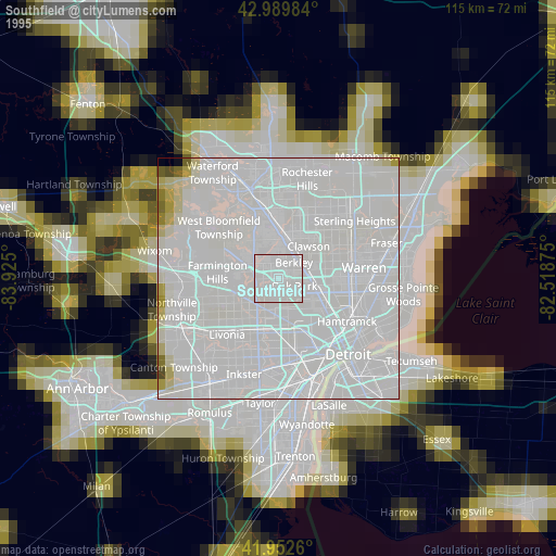
» NASA, Earths city lights 1995
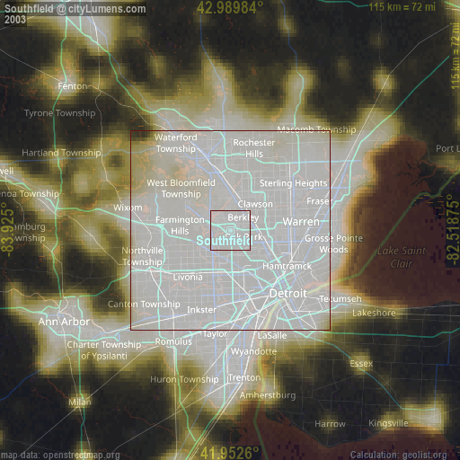
» NASA city lights 2003
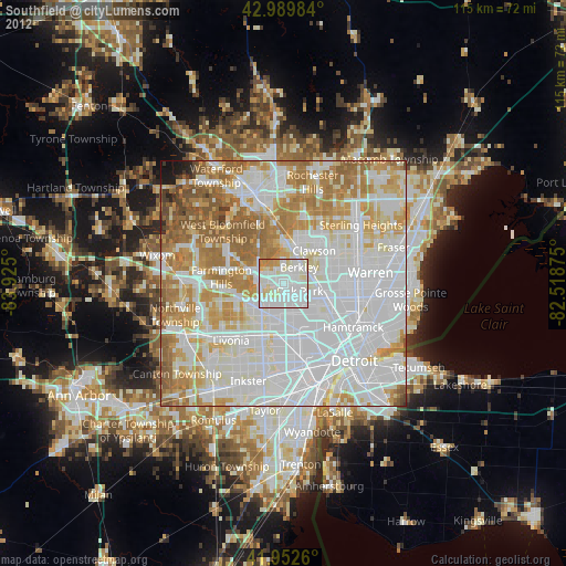
» Earth at Night: Flat Maps 2012, 2016