Royal Oak night lights from space
Night Light of Royal Oak (Michigan) from space (United States) Src. Average luminocity for 10x10km area is 97.9175% and for 50x50km: 84.019%.
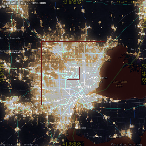

Analysis of Royal Oak night lights 2016
Square area 10x10 km:
 57.94%
90-99
33.65%80-89
8.41%70-79
0%60-69
0%50-59
0%40-49
0%30-39
0%20-29
0%10-19
0%0-9
0%Square area 50x50 km:
35.99%90-99
22.78%80-89
8.35%70-79
9.25%60-69
9.85%50-59
6.07%40-49
2.29%30-39
1.53%20-29
2.09%10-19
1.5%0-9
0.29%Clear (daylight) street map image can be seen on geolist.org.
Map coordinates:
43° 0' 21" North, 83° 50' 52" West
42° 29' 22.1" North, 83° 8' 40.7" West
41° 58' 7.9" North, 82° 26' 29.5" West
Some cities around Royal Oak sort by population:
• Southfield
6.6 km =4.1 mi,  254°
254°
• Madison Heights
3.3 km =2.1 mi,  97°
97°
• Oak Park
4.6 km =2.9 mi,  223°
223°
• Ferndale
3.3 km =2.1 mi,  165°
165°
• Hazel Park
4.5 km =2.8 mi,  132°
132°
• Berkley
3.5 km =2.2 mi,  295°
295°
• Clawson
4.9 km =3 mi,  358°
358°
• Huntington Woods
2.1 km =1.3 mi,  241°
241°
5007804 (p: 59,008)
Sources (retrieved 2019-11-25):
» NASA, Earths city lights 1995
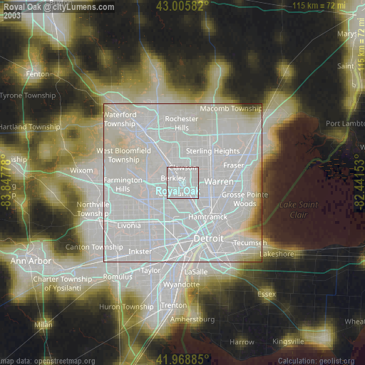
» NASA city lights 2003
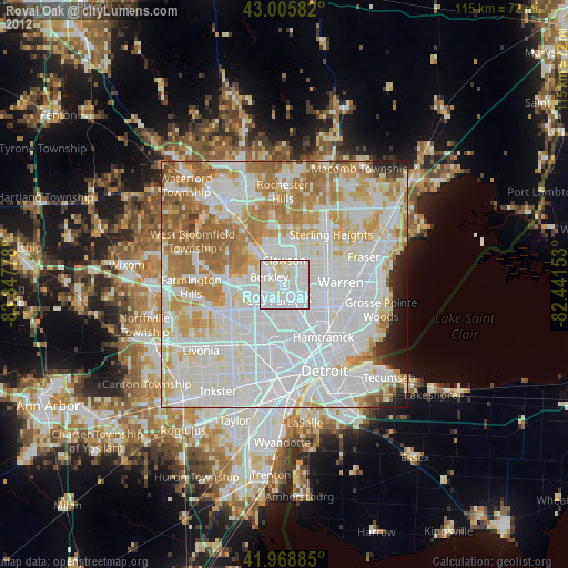
» Earth at Night: Flat Maps 2012, 2016