Ferndale night lights from space
Night Light of Ferndale (Michigan) from space (United States) Src. Average luminocity for 10x10km area is 99.1619% and for 50x50km: 84.1382%.

Analysis of Ferndale night lights 2016
Square area 10x10 km:
 74.76%
90-99
23.33%80-89
1.9%70-79
0%60-69
0%50-59
0%40-49
0%30-39
0%20-29
0%10-19
0%0-9
0%Square area 50x50 km:
36.78%90-99
23.61%80-89
8.08%70-79
9.15%60-69
9.15%50-59
4.98%40-49
1.99%30-39
1.33%20-29
1.98%10-19
2.12%0-9
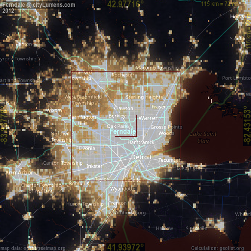
0.84%Clear (daylight) street map image can be seen on geolist.org.
Map coordinates:
42° 58' 37.8" North, 83° 50' 16" West
42° 27' 38.1" North, 83° 8' 4.7" West
41° 56' 23" North, 82° 25' 53.5" West
Some cities around Ferndale sort by population:
• Southfield
7.3 km =4.5 mi,  281°
281°
• Royal Oak
3.3 km =2.1 mi,  345°
345°
• Madison Heights
3.7 km =2.3 mi,  40°
40°
• Oak Park
3.9 km =2.4 mi,  268°
268°
• Hazel Park
2.5 km =1.6 mi,  85°
85°
• Berkley
6.2 km =3.9 mi,  319°
319°
• Highland Park
6.9 km =4.3 mi,  153°
153°
• Huntington Woods
3.5 km =2.2 mi,  310°
310°
4992635 (p: 20,177)
Sources (retrieved 2019-11-25):
» Earth at Night: Flat Maps 2012, 2016