Oak Park night lights from space
Night Light of Oak Park (Michigan) from space (United States) Src. Average luminocity for 10x10km area is 98.4841% and for 50x50km: 86.714%.
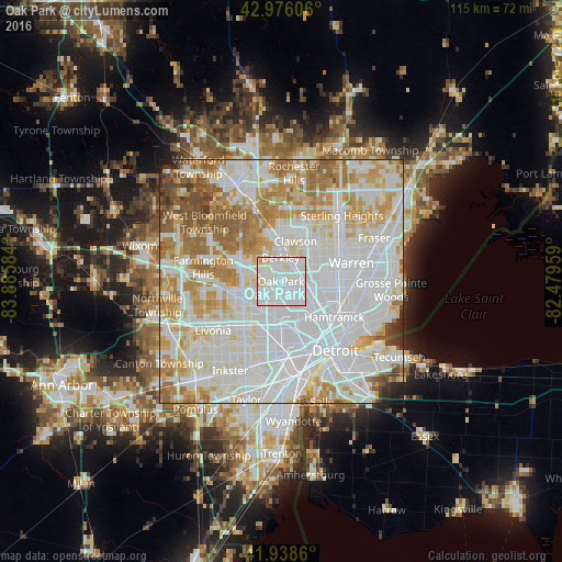
Analysis of Oak Park night lights 2016
Square area 10x10 km:
 62.86%
90-99
32.7%80-89
4.44%70-79
0%60-69
0%50-59
0%40-49
0%30-39
0%20-29
0%10-19
0%0-9
0%Square area 50x50 km:
37.54%90-99
24.38%80-89
8.53%70-79
9.94%60-69
10.02%50-59
5.06%40-49
2.33%30-39
1.07%20-29
0.79%10-19
0.32%0-9
0.01%Clear (daylight) street map image can be seen on geolist.org.
Map coordinates:
42° 58' 33.8" North, 83° 53' 9" West
42° 27' 34.1" North, 83° 10' 57.8" West
41° 56' 19" North, 82° 28' 46.5" West
Some cities around Oak Park sort by population:
• Southfield
3.6 km =2.2 mi,  295°
295°
• Royal Oak
4.6 km =2.9 mi,  43°
43°
• Madison Heights
7 km =4.3 mi,  65°
65°
• Ferndale
3.9 km =2.4 mi,  88°
88°
• Hazel Park
6.5 km =4 mi, 86°
• Berkley
4.8 km =3 mi,  359°
359°
• Beverly Hills
7.9 km =4.9 mi,  335°
335°
• Huntington Woods
2.7 km =1.7 mi,  28°
28°
5004188 (p: 29,752)
Sources (retrieved 2019-11-25):
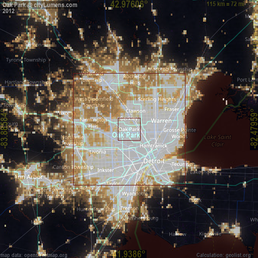
» Earth at Night: Flat Maps 2012, 2016