South Bel Air night lights from space
Night Light of South Bel Air (Maryland) from space (United States) Src. Average luminocity for 10x10km area is 62.5698% and for 50x50km: 27.4091%.
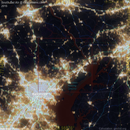
Analysis of South Bel Air night lights 2016
Square area 10x10 km:
 7.79%
7.79%90-99
9.74%80-89
8.93%70-79
9.9%60-69
13.47%50-59
20.94%40-49
13.15%30-39
8.28%20-29
6.17%10-19
1.62%0-9
0%Square area 50x50 km:
6.22%90-99
4.18%80-89
3.01%70-79
3.37%60-69
3.54%50-59
3.78%40-49
4.48%30-39
5.19%20-29
7.21%10-19
9.66%0-9
49.37%Clear (daylight) street map image can be seen on geolist.org.
Map coordinates:
40° 4' 24" North, 77° 2' 26.1" West
39° 31' 59.4" North, 76° 20' 14.9" West
38° 59' 19.5" North, 75° 38' 3.6" West
Some cities around South Bel Air sort by population:
• Bel Air South
3.5 km =2.2 mi,  154°
154°
• North Bel Air
1.7 km =1.1 mi,  296°
296°
• Bel Air North
3.9 km =2.4 mi,  307°
307°
• Edgewood
13.3 km =8.3 mi,  163°
163°
• Joppatowne
8.5 km =5.3 mi,  190°
190°
• Bel Air
1 km =0.6 mi,  288°
288°
• Fallston
6.6 km =4.1 mi,  251°
251°
• Riverside
10.6 km =6.6 mi,  128°
128°
4369928 (p: 48,828)
Sources (retrieved 2019-11-25):
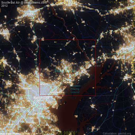
» Earth at Night: Flat Maps 2012, 2016