North Bel Air night lights from space
Night Light of North Bel Air (Maryland) from space (United States) Src. Average luminocity for 10x10km area is 61.4075% and for 50x50km: 28.1001%.
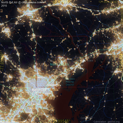
Analysis of North Bel Air night lights 2016
Square area 10x10 km:
 7.14%
7.14%90-99
9.42%80-89
9.9%70-79
9.09%60-69
13.47%50-59
20.29%40-49
11.53%30-39
7.31%20-29
9.58%10-19
2.27%0-9
0%Square area 50x50 km:
6.41%90-99
4.43%80-89
3.11%70-79
3.63%60-69
3.57%50-59
3.8%40-49
4.39%30-39
5.2%20-29
7.23%10-19
9.52%0-9
48.7%Clear (daylight) street map image can be seen on geolist.org.
Map coordinates:
40° 4' 47.8" North, 77° 3' 29.1" West
39° 32' 23.4" North, 76° 21' 17.9" West
38° 59' 43.7" North, 75° 39' 6.6" West
Some cities around North Bel Air sort by population:
• South Bel Air
1.7 km =1.1 mi,  116°
116°
• Bel Air South
4.9 km =3 mi,  142°
142°
• Bel Air North
2.2 km =1.4 mi,  315°
315°
• Edgewood
14.4 km =8.9 mi,  158°
158°
• Joppatowne
9.1 km =5.7 mi,  180°
180°
• Bel Air
0.7 km =0.4 mi,  127°
127°
• Fallston
5.6 km =3.5 mi,  239°
239°
• Riverside
12.2 km =7.6 mi, 127°
4363836 (p: 33,925)
Sources (retrieved 2019-11-25):
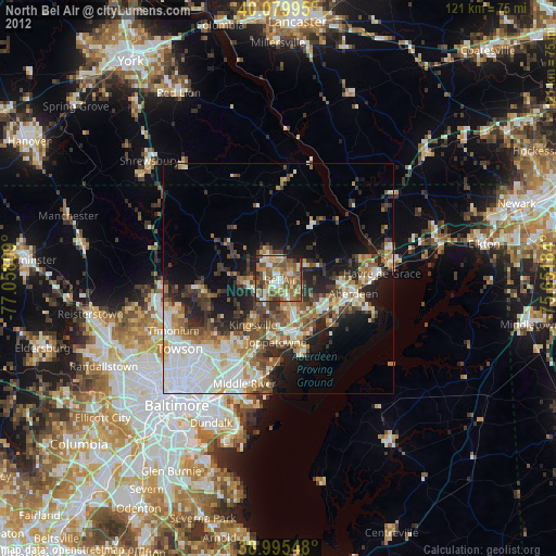
» Earth at Night: Flat Maps 2012, 2016