Bel Air South night lights from space
Night Light of Bel Air South (Maryland) from space (United States) Src. Average luminocity for 10x10km area is 58.1899% and for 50x50km: 28.0091%.
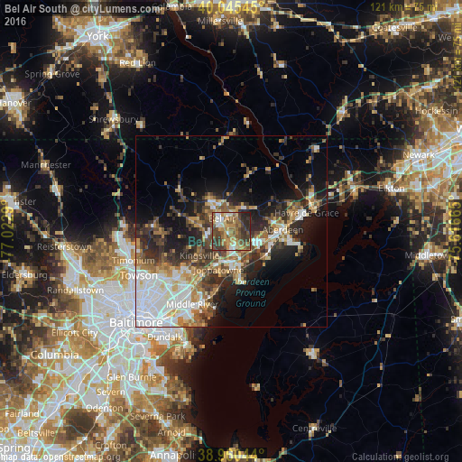
Analysis of Bel Air South night lights 2016
Square area 10x10 km:
 4.87%
4.87%90-99
7.63%80-89
7.14%70-79
11.69%60-69
12.18%50-59
18.34%40-49
13.47%30-39
15.26%20-29
8.28%10-19
1.14%0-9
0%Square area 50x50 km:
6.59%90-99
4.11%80-89
3.16%70-79
3.39%60-69
3.66%50-59
3.97%40-49
4.4%30-39
5.17%20-29
7.16%10-19
10.09%0-9
48.31%Clear (daylight) street map image can be seen on geolist.org.
Map coordinates:
40° 2' 43.6" North, 77° 1' 22.4" West
39° 30' 18.2" North, 76° 19' 11.2" West
38° 57' 37.6" North, 75° 36' 59.9" West
Some cities around Bel Air South sort by population:
• South Bel Air
3.5 km =2.2 mi,  334°
334°
• North Bel Air
4.9 km =3 mi,  322°
322°
• Perry Hall
16.1 km =10 mi,  230°
230°
• Edgewood
9.8 km =6.1 mi,  167°
167°
• Aberdeen
13.4 km =8.3 mi,  87°
87°
• Joppatowne
6.1 km =3.8 mi,  210°
210°
• Fallston
7.9 km =4.9 mi,  277°
277°
• Riverside
7.6 km =4.7 mi,  117°
117°
7257992 (p: 47,709)
Sources (retrieved 2019-11-25):
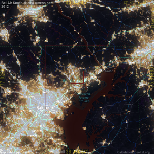
» Earth at Night: Flat Maps 2012, 2016