Concord night lights from space
Night Light of Concord (New York) from space (United States) Src. Average luminocity for 10x10km area is 84.7873% and for 50x50km: 70.5225%.
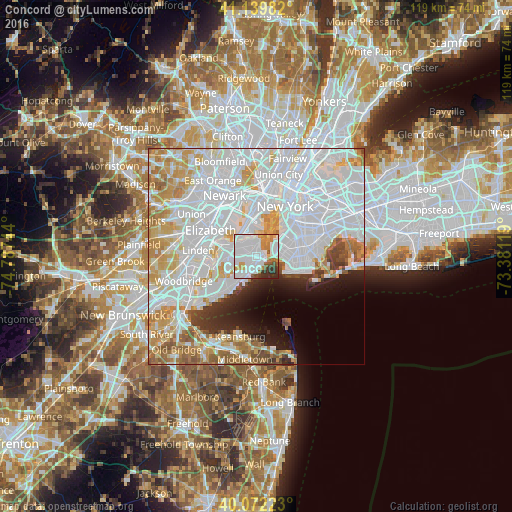
Analysis of Concord night lights 2016
Square area 10x10 km:
 45.94%
90-99
20.29%80-89
3.08%70-79
7.95%60-69
6.82%50-59
4.06%40-49
1.79%30-39
6.01%20-29
4.06%10-19
0%0-9
0%Square area 50x50 km:
35.82%90-99
15.9%80-89
6.59%70-79
6.77%60-69
5.43%50-59
3.09%40-49
2.07%30-39
2.3%20-29
3.33%10-19
4.39%0-9
14.31%Clear (daylight) street map image can be seen on geolist.org.
Map coordinates:
41° 8' 23.4" North, 74° 47' 14.8" West
40° 36' 29.4" North, 74° 5' 3.5" West
40° 4' 20" North, 73° 22' 52.3" West
Some cities around Concord sort by population:
• Emerson Hill
1 km =0.6 mi,  273°
273°
• Arrochar
1.5 km =0.9 mi,  137°
137°
• Dongan Hills
2.4 km =1.5 mi,  204°
204°
• Clifton
1.5 km =0.9 mi,  24°
24°
• Tompkinsville
3.4 km =2.1 mi,  9°
9°
• South Beach
2.9 km =1.8 mi,  165°
165°
• Midland Beach
4 km =2.5 mi,  192°
192°
• Stapleton
2.1 km =1.3 mi, 15°
5113460 (p: 8,857)
Sources (retrieved 2019-11-25):
» Earth at Night: Flat Maps 2012, 2016