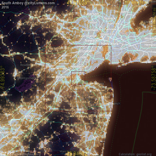
South Amboy night lights from space
Night Light of South Amboy (New Jersey) from space (United States) Src. Average luminocity for 10x10km area is 79.9796% and for 50x50km: 68.9224%.
Analysis of South Amboy night lights 2016
Square area 10x10 km:
 21.77%
90-99
21.94%80-89
12.76%70-79
11.9%60-69
13.78%50-59
7.31%40-49
6.97%30-39
3.57%20-29
0%10-19
0%0-9
0%Square area 50x50 km:
18.1%90-99
15%80-89
8.47%70-79
10.27%60-69
12.2%50-59
12.06%40-49
7.27%30-39
6.07%20-29
5.03%10-19
2.64%0-9
2.89%Clear (daylight) street map image can be seen on geolist.org.
Map coordinates:
41° 0' 38.1" North, 74° 59' 37.8" West
40° 28' 40.4" North, 74° 17' 26.5" West
39° 56' 27.3" North, 73° 35' 15.3" West
Some cities around South Amboy sort by population:
• Perth Amboy
3.9 km =2.4 mi,  33°
33°
• Sayreville
6.3 km =3.9 mi,  250°
250°
• Sayreville Junction
3.6 km =2.2 mi, 247°
• Woodbridge
8.9 km =5.5 mi,  3°
3°
• Fords
6.1 km =3.8 mi,  339°
339°
• Matawan
8.7 km =5.4 mi,  143°
143°
• Madison Park
3.3 km =2.1 mi,  206°
206°
• Laurence Harbor
4.4 km =2.7 mi,  122°
122°
5104784 (p: 8,846)
Sources (retrieved 2019-11-25):
» Earth at Night: Flat Maps 2012, 2016