Sayreville Junction night lights from space
Night Light of Sayreville Junction (New Jersey) from space (United States) Src. Average luminocity for 10x10km area is 82.8724% and for 50x50km: 68.2699%.
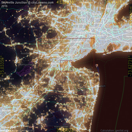
Analysis of Sayreville Junction night lights 2016
Square area 10x10 km:
 18.88%
90-99
21.09%80-89
17.01%70-79
20.58%60-69
15.65%50-59
6.63%40-49
0.17%30-39
0%20-29
0%10-19
0%0-9
0%Square area 50x50 km:
16.7%90-99
14.32%80-89
8.59%70-79
10.27%60-69
12.25%50-59
12.98%40-49
8.06%30-39
6.9%20-29
6.01%10-19
2.2%0-9
1.73%Clear (daylight) street map image can be seen on geolist.org.
Map coordinates:
40° 59' 53.4" North, 75° 2' 0.8" West
40° 27' 55.4" North, 74° 19' 49.5" West
39° 55' 42" North, 73° 37' 38.3" West
Some cities around Sayreville Junction sort by population:
• Piscataway
6.9 km =4.3 mi,  303°
303°
• Perth Amboy
7.2 km =4.5 mi,  50°
50°
• Old Bridge
6.4 km =4 mi,  207°
207°
• South Old Bridge
6.7 km =4.2 mi,  197°
197°
• South River
5.1 km =3.2 mi,  245°
245°
• Fords
7.2 km =4.5 mi,  9°
9°
• South Amboy
3.6 km =2.2 mi,  67°
67°
• Madison Park
2.5 km =1.6 mi,  129°
129°
5104405 (p: 42,890)
Sources (retrieved 2019-11-25):
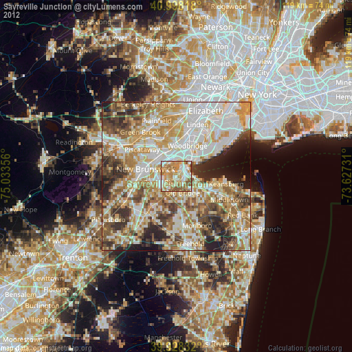
» Earth at Night: Flat Maps 2012, 2016