Smyrna night lights from space
Night Light of Smyrna (Georgia) from space (United States) Src. Average luminocity for 10x10km area is 96.1399% and for 50x50km: 85.7709%.
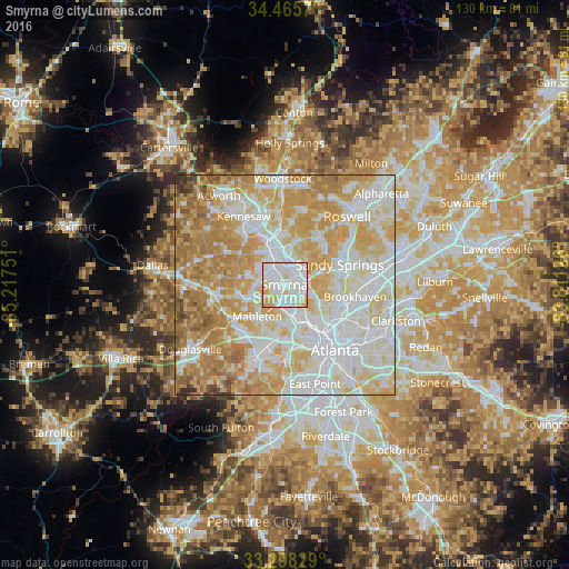
Analysis of Smyrna night lights 2016
Square area 10x10 km:
 48.78%
90-99
33.39%80-89
13.29%70-79
4.55%60-69
0%50-59
0%40-49
0%30-39
0%20-29
0%10-19
0%0-9
0%Square area 50x50 km:
25.97%90-99
23.8%80-89
16.95%70-79
17.02%60-69
11.2%50-59
3.12%40-49
1.17%30-39
0.58%20-29
0.2%10-19
0%0-9
0%Clear (daylight) street map image can be seen on geolist.org.
Map coordinates:
34° 27' 56.5" North, 85° 13' 3" West
33° 53' 2.4" North, 84° 30' 51.8" West
33° 17' 53.8" North, 83° 48' 40.5" West
Some cities around Smyrna sort by population:
• Sandy Springs
13.3 km =8.3 mi,  70°
70°
• Marietta
8.3 km =5.2 mi,  336°
336°
• Brookhaven
16.3 km =10.1 mi,  100°
100°
• Mableton
9.6 km =6 mi,  220°
220°
• Powder Springs
15.9 km =9.9 mi,  260°
260°
• Vinings
5.1 km =3.2 mi,  114°
114°
• Fair Oaks
4.6 km =2.9 mi,  322°
322°
• Austell
13.6 km =8.5 mi,  234°
234°
4223379 (p: 56,146)
Sources (retrieved 2019-11-25):
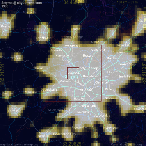
» NASA, Earths city lights 1995
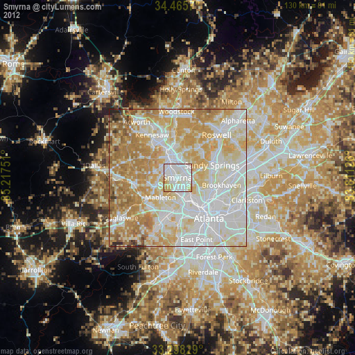
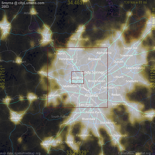
» NASA city lights 2003
» Earth at Night: Flat Maps 2012, 2016