Glendale night lights from space
Night Light of Glendale (California) from space (United States) Src. Average luminocity for 10x10km area is 89.6264% and for 50x50km: 69.2325%.
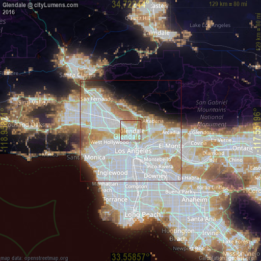
Analysis of Glendale night lights 2016
Square area 10x10 km:
 30.22%
90-99
32.05%80-89
10.62%70-79
17.95%60-69
9.16%50-59
0%40-49
0%30-39
0%20-29
0%10-19
0%0-9
0%Square area 50x50 km:
34.67%90-99
16.97%80-89
5.65%70-79
6.15%60-69
5.94%50-59
3.26%40-49
2.1%30-39
2.21%20-29
2.44%10-19
3.98%0-9
16.64%Clear (daylight) street map image can be seen on geolist.org.
Map coordinates:
34° 43' 20.8" North, 118° 57' 29.6" West
34° 8' 33" North, 118° 15' 18.3" West
33° 33' 30.9" North, 117° 33' 7.1" West
Some cities around Glendale sort by population:
• Hollywood
8.2 km =5.1 mi,  233°
233°
• Burbank
6.5 km =4 mi,  310°
310°
• Universal City
9.1 km =5.7 mi,  267°
267°
• Echo Park
7.2 km =4.5 mi,  184°
184°
• Silver Lake
6.4 km =4 mi,  192°
192°
• South Pasadena
10.1 km =6.3 mi,  106°
106°
• La Cañada Flintridge
8.8 km =5.5 mi,  44°
44°
• La Crescenta-Montrose
10.1 km =6.3 mi,  10°
10°
5352423 (p: 201,020)
Sources (retrieved 2019-11-25):
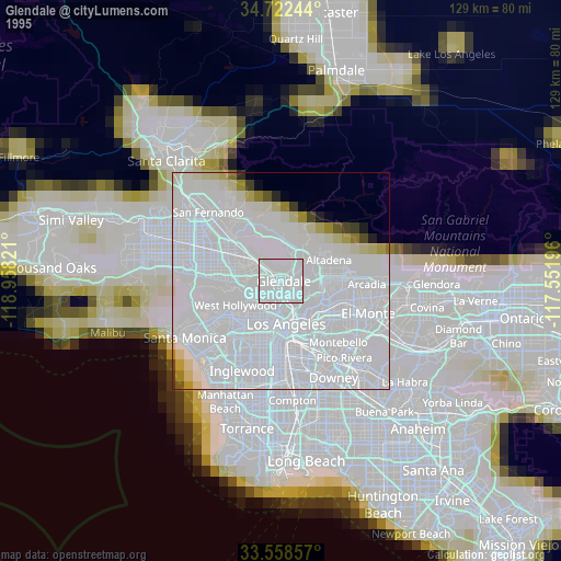
» NASA, Earths city lights 1995
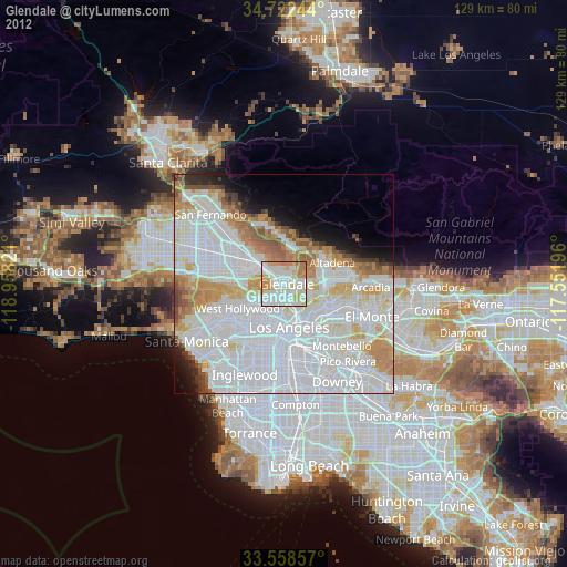
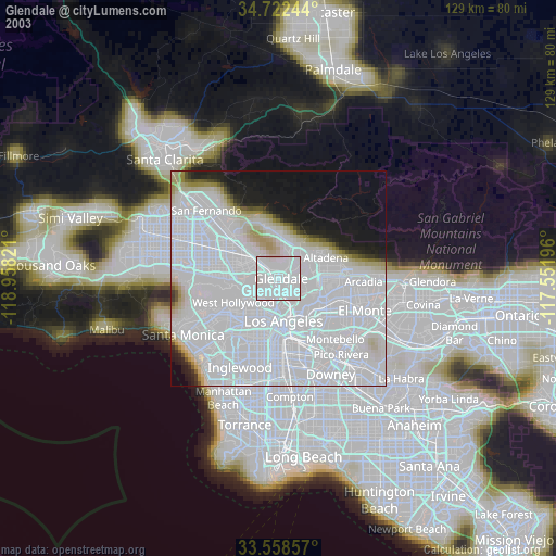
» NASA city lights 2003
» Earth at Night: Flat Maps 2012, 2016