Los Angeles night lights from space
Night Light of Los Angeles (California) from space (United States) Src. Average luminocity for 10x10km area is 99.1783% and for 50x50km: 81.6278%.

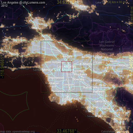
Analysis of Los Angeles night lights 2016
Square area 10x10 km:
 84.79%
90-99
11.71%80-89
3.5%70-79
0%60-69
0%50-59
0%40-49
0%30-39
0%20-29
0%10-19
0%0-9
0%Square area 50x50 km:
46.3%90-99
19.86%80-89
5.46%70-79
5.81%60-69
5.31%50-59
2.54%40-49
1.27%30-39
1.51%20-29
2.09%10-19
3.17%0-9
6.67%Clear (daylight) street map image can be seen on geolist.org.
Map coordinates:
34° 37' 58" North, 118° 56' 48.5" West
34° 3' 8" North, 118° 14' 37.2" West
33° 28' 3.6" North, 117° 32' 26" West
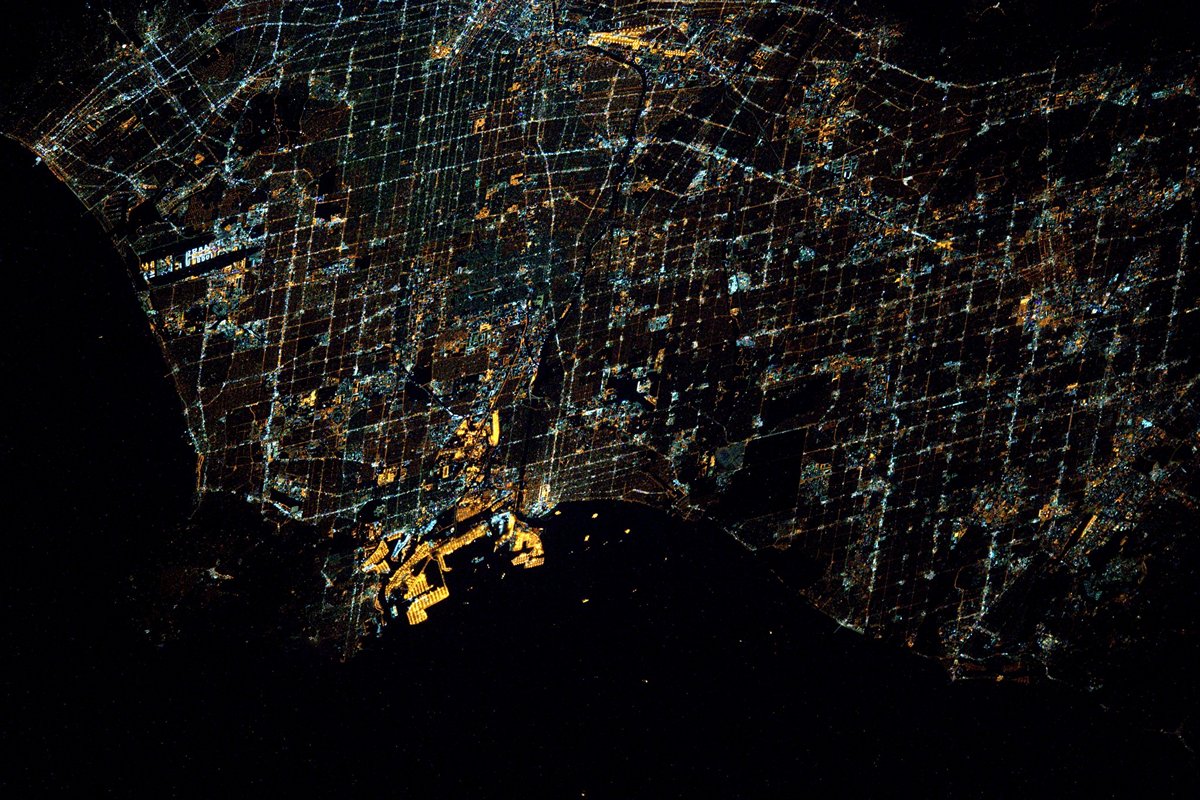
Fantastic image of Los Angeles from space taken by astronauts [src2], but I don't have information about it's orientation, scale or angle. If necessary, it was rotated manually, so North points approximately to upper direction. Click to zoom in:
Some cities around Los Angeles sort by population:
• Hollywood
9.2 km =5.7 mi,  303°
303°
• East Los Angeles
7.3 km =4.5 mi,  115°
115°
• Koreatown
5.3 km =3.3 mi,  276°
276°
• Boyle Heights
4.1 km =2.5 mi, 119°
• Huntington Park
8 km =5 mi,  167°
167°
• Echo Park
3.3 km =2.1 mi,  331°
331°
• Silver Lake
4.5 km =2.8 mi, 327°
• Maywood
9.1 km =5.7 mi,  143°
143°
5368361 (p: 3,971,883)
Sources (retrieved 2019-11-25):
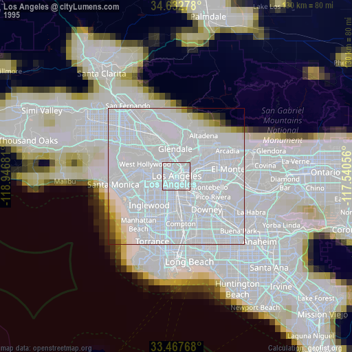
» NASA, Earths city lights 1995
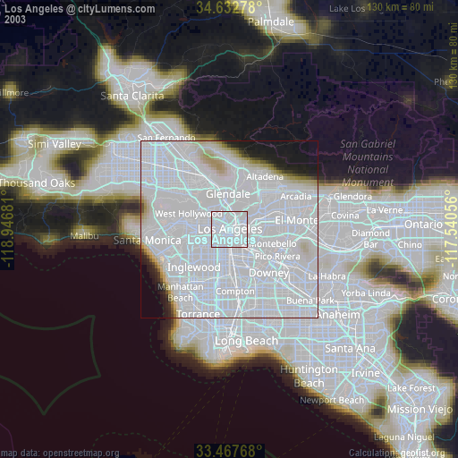
» NASA city lights 2003
» Earth at Night: Flat Maps 2012, 2016
Src.2: Tim Kopra, Twitter/@astro_tim, 2016-06-02