Shelby night lights from space
Night Light of Shelby (North Carolina) from space (United States) Src. Average luminocity for 10x10km area is 65.304% and for 50x50km: 19.5109%.
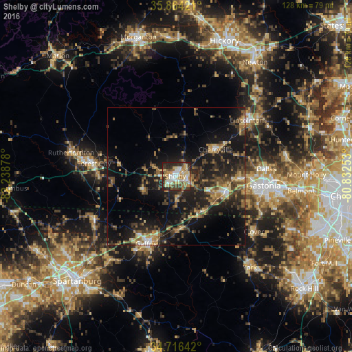
Analysis of Shelby night lights 2016
Square area 10x10 km:
 10.62%
90-99
14.84%80-89
14.1%70-79
10.81%60-69
10.81%50-59
4.95%40-49
8.97%30-39
8.24%20-29
15.57%10-19
1.1%0-9
0%Square area 50x50 km:
1.03%90-99
1.61%80-89
2.92%70-79
2.48%60-69
3.21%50-59
2.6%40-49
4.02%30-39
5.23%20-29
7.84%10-19
18.09%0-9
50.98%Clear (daylight) street map image can be seen on geolist.org.
Map coordinates:
35° 51' 51.2" North, 82° 14' 19.6" West
35° 17' 32.5" North, 81° 32' 8.3" West
34° 42' 59.1" North, 80° 49' 57.1" West
Some cities around Shelby sort by population:
• Gastonia
31.8 km =19.8 mi,  96°
96°
• Gaffney
26.6 km =16.5 mi,  202°
202°
• Lincolnton
32.5 km =20.2 mi,  51°
51°
• Kings Mountain
18.4 km =11.4 mi,  106°
106°
• Forest City
30.2 km =18.8 mi,  278°
278°
• Cherryville
17.2 km =10.7 mi,  55°
55°
• Bessemer City
22.9 km =14.2 mi,  92°
92°
• South Gastonia
31 km =19.3 mi, 105°
4491180 (p: 20,189)
Sources (retrieved 2019-11-25):
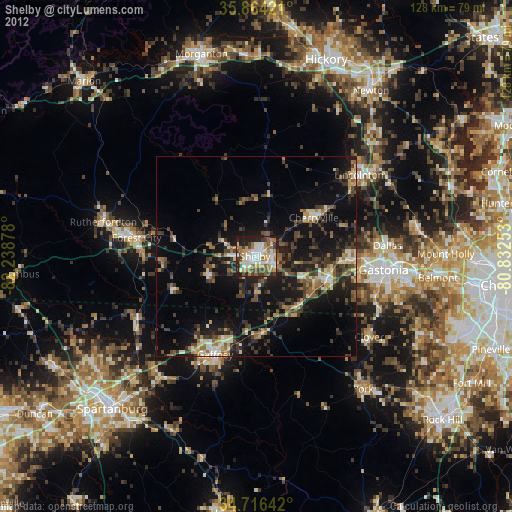
» Earth at Night: Flat Maps 2012, 2016