Brighton Beach night lights from space
Night Light of Brighton Beach (New York) from space (United States) Src. Average luminocity for 10x10km area is 62.2143% and for 50x50km: 59.287%.
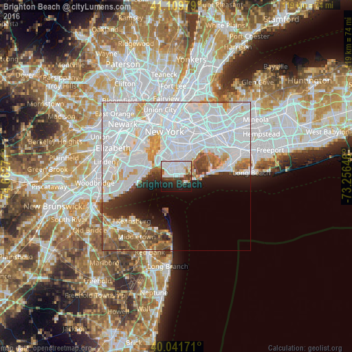
Analysis of Brighton Beach night lights 2016
Square area 10x10 km:
 32.31%
90-99
13.8%80-89
1.79%70-79
2.6%60-69
0.81%50-59
3.25%40-49
5.03%30-39
8.12%20-29
12.34%10-19
18.02%0-9
1.95%Square area 50x50 km:
34.26%90-99
11.64%80-89
3.22%70-79
3.4%60-69
3.38%50-59
3.91%40-49
2.46%30-39
2.6%20-29
4.18%10-19
5.43%0-9
25.52%Clear (daylight) street map image can be seen on geolist.org.
Map coordinates:
41° 6' 35.2" North, 74° 39' 45.8" West
40° 34' 40.4" North, 73° 57' 34.5" West
40° 2' 30.2" North, 73° 15' 23.3" West
Some cities around Brighton Beach sort by population:
• Sheepshead Bay
2 km =1.2 mi,  40°
40°
• Gravesend
2.2 km =1.4 mi,  347°
347°
• Flatlands
5.3 km =3.3 mi,  23°
23°
• Bensonhurst
3.9 km =2.4 mi,  312°
312°
• Coney Island
2.9 km =1.8 mi,  270°
270°
• Dyker Heights
6.4 km =4 mi,  318°
318°
• Bath Beach
4.8 km =3 mi, 308°
• Bergen Beach
6.5 km =4 mi, 43°
5110161 (p: 31,462)
Sources (retrieved 2019-11-25):
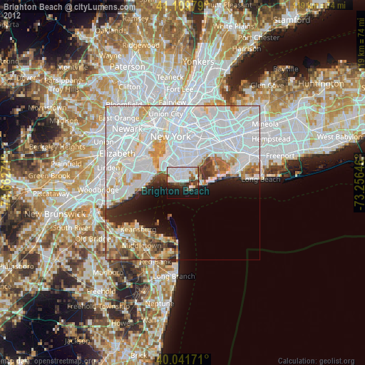
» Earth at Night: Flat Maps 2012, 2016