Shawnee night lights from space
Night Light of Shawnee (Oklahoma) from space (United States) Src. Average luminocity for 10x10km area is 53.9927% and for 50x50km: 10.8297%.
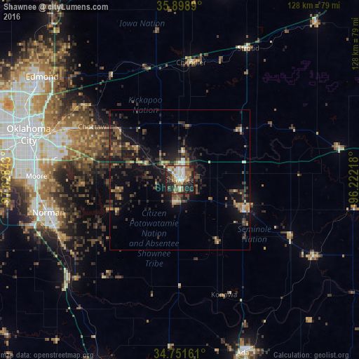
Analysis of Shawnee night lights 2016
Square area 10x10 km:
 10.07%
90-99
9.16%80-89
7.69%70-79
7.14%60-69
10.99%50-59
5.86%40-49
6.96%30-39
8.06%20-29
23.08%10-19
10.99%0-9
0%Square area 50x50 km:
0.58%90-99
0.78%80-89
1.22%70-79
1.24%60-69
1.62%50-59
1.63%40-49
2.42%30-39
3.49%20-29
3.9%10-19
9.2%0-9
73.92%Clear (daylight) street map image can be seen on geolist.org.
Map coordinates:
35° 53' 56" North, 97° 37' 42.3" West
35° 19' 38.2" North, 96° 55' 31.1" West
34° 45' 5.8" North, 96° 13' 19.8" West
Some cities around Shawnee sort by population:
• Norman
48.1 km =29.9 mi,  255°
255°
• Midwest City
44.8 km =27.8 mi,  287°
287°
• Del City
48.4 km =30.1 mi, 285°
• Choctaw
36.4 km =22.6 mi,  301°
301°
• Seminole
25.8 km =16 mi,  116°
116°
• Noble
47.5 km =29.5 mi,  243°
243°
• Tecumseh
7.8 km =4.8 mi,  187°
187°
• Harrah
28.1 km =17.5 mi,  309°
309°
4551177 (p: 31,286)
Sources (retrieved 2019-11-25):
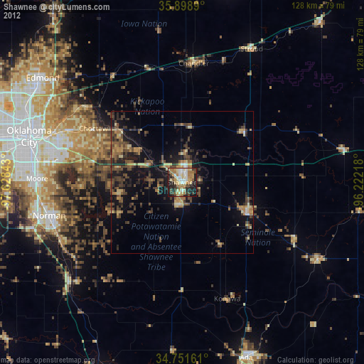
» Earth at Night: Flat Maps 2012, 2016