Midwest City night lights from space
Night Light of Midwest City (Oklahoma) from space (United States) Src. Average luminocity for 10x10km area is 89.0641% and for 50x50km: 53.2416%.
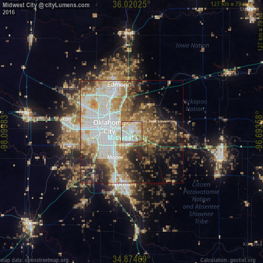
Analysis of Midwest City night lights 2016
Square area 10x10 km:
 31.32%
90-99
27.84%80-89
15.02%70-79
15.57%60-69
9.71%50-59
0.55%40-49
0%30-39
0%20-29
0%10-19
0%0-9
0%Square area 50x50 km:
13.5%90-99
11.03%80-89
6.56%70-79
6.87%60-69
8.48%50-59
7.12%40-49
6.65%30-39
7.07%20-29
7.67%10-19
8.72%0-9
16.33%Clear (daylight) street map image can be seen on geolist.org.
Map coordinates:
36° 1' 12.9" North, 98° 5' 59.4" West
35° 26' 58.2" North, 97° 23' 48.1" West
34° 52' 28.9" North, 96° 41' 36.9" West
Some cities around Midwest City sort by population:
• Oklahoma City
11 km =6.8 mi,  280°
280°
• Moore
14.7 km =9.1 mi,  213°
213°
• Del City
4.1 km =2.5 mi,  258°
258°
• Bethany
22.7 km =14.1 mi,  289°
289°
• Choctaw
12.7 km =7.9 mi,  65°
65°
• Warr Acres
21.7 km =13.5 mi, 291°
• The Village
18.7 km =11.6 mi,  311°
311°
• Harrah
21.6 km =13.4 mi,  78°
78°
4542765 (p: 57,249)
Sources (retrieved 2019-11-25):
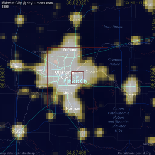
» NASA, Earths city lights 1995
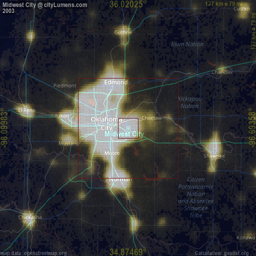
» NASA city lights 2003
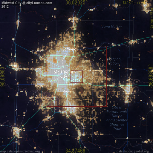
» Earth at Night: Flat Maps 2012, 2016