Del City night lights from space
Night Light of Del City (Oklahoma) from space (United States) Src. Average luminocity for 10x10km area is 94.6484% and for 50x50km: 56.4922%.
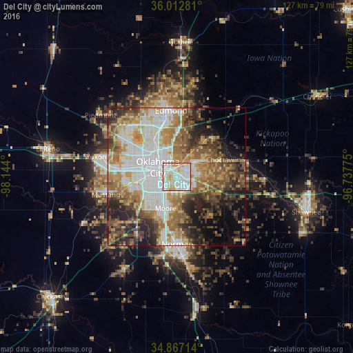
Analysis of Del City night lights 2016
Square area 10x10 km:
 40.66%
90-99
34.43%80-89
16.3%70-79
8.42%60-69
0.18%50-59
0%40-49
0%30-39
0%20-29
0%10-19
0%0-9
0%Square area 50x50 km:
13.81%90-99
11.39%80-89
7.19%70-79
7.54%60-69
9.36%50-59
8.12%40-49
7.73%30-39
6.97%20-29
8.59%10-19
7.92%0-9
11.36%Clear (daylight) street map image can be seen on geolist.org.
Map coordinates:
36° 0' 46.1" North, 98° 8' 38.4" West
35° 26' 31.2" North, 97° 26' 27.1" West
34° 52' 1.7" North, 96° 44' 15.9" West
Some cities around Del City sort by population:
• Oklahoma City
7.4 km =4.6 mi,  292°
292°
• Edmond
23.7 km =14.7 mi,  351°
351°
• Moore
12.1 km =7.5 mi,  200°
200°
• Midwest City
4.1 km =2.5 mi,  78°
78°
• Bethany
19.3 km =12 mi,  296°
296°
• Choctaw
16.8 km =10.4 mi,  68°
68°
• Warr Acres
18.4 km =11.4 mi, 299°
• The Village
16.6 km =10.3 mi,  322°
322°
4534934 (p: 22,022)
Sources (retrieved 2019-11-25):
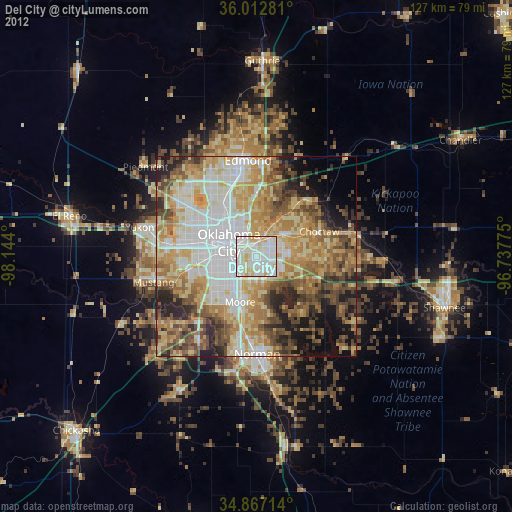
» Earth at Night: Flat Maps 2012, 2016