Norman night lights from space
Night Light of Norman (Oklahoma) from space (United States) Src. Average luminocity for 10x10km area is 80.2203% and for 50x50km: 34.7029%.
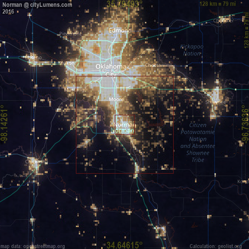
Analysis of Norman night lights 2016
Square area 10x10 km:
 23.6%
23.6%90-99
23.43%80-89
12.41%70-79
8.57%60-69
13.11%50-59
7.69%40-49
5.77%30-39
3.32%20-29
2.1%10-19
0%0-9
0%Square area 50x50 km:
5.88%90-99
5.3%80-89
4.07%70-79
4.15%60-69
5.41%50-59
5.96%40-49
6.48%30-39
7.37%20-29
9.42%10-19
11.78%0-9
34.18%Clear (daylight) street map image can be seen on geolist.org.
Map coordinates:
35° 47' 41.7" North, 98° 8' 33.4" West
35° 13' 21.3" North, 97° 26' 22.1" West
34° 38' 46.1" North, 96° 44' 10.9" West
Some cities around Norman sort by population:
• Oklahoma City
28.1 km =17.5 mi,  345°
345°
• Moore
13.7 km =8.5 mi,  341°
341°
• Midwest City
25.5 km =15.8 mi,  8°
8°
• Del City
24.4 km =15.2 mi,  359°
359°
• Newcastle
14.8 km =9.2 mi,  280°
280°
• Blanchard
22 km =13.7 mi,  244°
244°
• Noble
10.1 km =6.3 mi,  156°
156°
• Purcell
24.3 km =15.1 mi, 162°
4543762 (p: 120,284)
Sources (retrieved 2019-11-25):
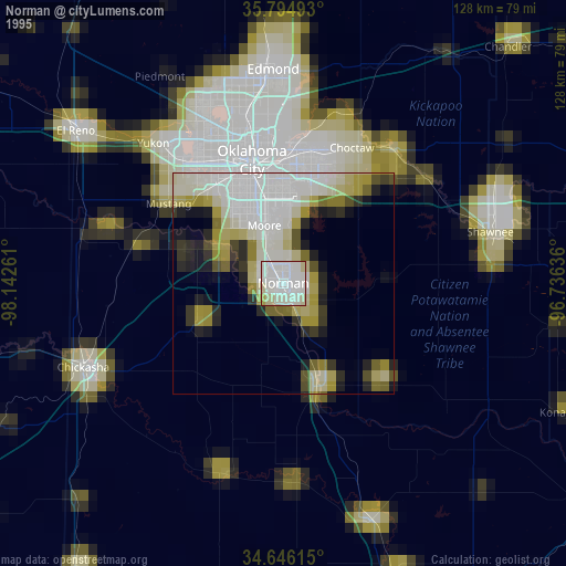
» NASA, Earths city lights 1995
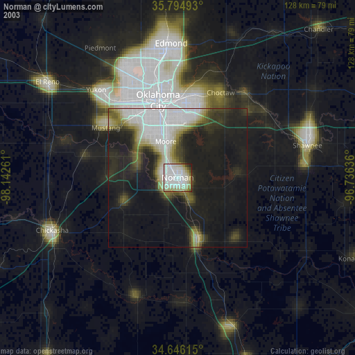
» NASA city lights 2003
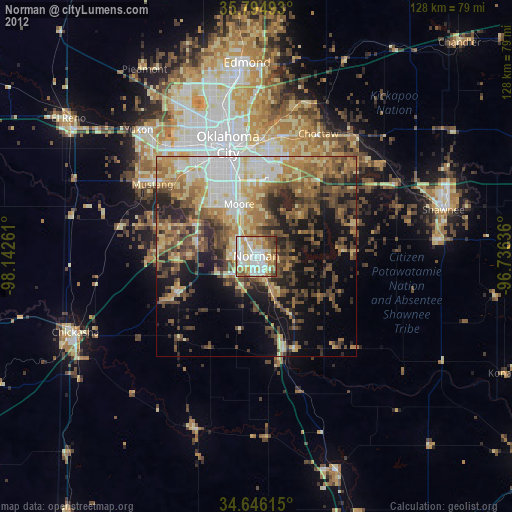
» Earth at Night: Flat Maps 2012, 2016