Hoffman Estates night lights from space
Night Light of Hoffman Estates (Illinois) from space (United States) Src. Average luminocity for 10x10km area is 92.8143% and for 50x50km: 79.378%.
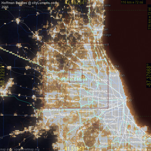
Analysis of Hoffman Estates night lights 2016
Square area 10x10 km:
 36.67%
90-99
34.76%80-89
15.08%70-79
6.51%60-69
5.87%50-59
1.11%40-49
0%30-39
0%20-29
0%10-19
0%0-9
0%Square area 50x50 km:
22.63%90-99
20.12%80-89
12.88%70-79
11.22%60-69
13.4%50-59
10.69%40-49
5.69%30-39
1.94%20-29
0.83%10-19
0.45%0-9
0.15%Clear (daylight) street map image can be seen on geolist.org.
Map coordinates:
42° 33' 46.2" North, 88° 46' 58.5" West
42° 2' 34.1" North, 88° 4' 47.3" West
41° 31' 6.6" North, 87° 22' 36" West
Some cities around Hoffman Estates sort by population:
• Schaumburg
1.1 km =0.7 mi,  195°
195°
• Palatine
8.4 km =5.2 mi,  26°
26°
• Streamwood
8.4 km =5.2 mi,  256°
256°
• Hanover Park
7.2 km =4.5 mi,  228°
228°
• Rolling Meadows
7.2 km =4.5 mi,  50°
50°
• Roselle
6.5 km =4 mi,  179°
179°
• Bloomingdale
9.5 km =5.9 mi, 180°
• Inverness
8.5 km =5.3 mi,  350°
350°
4896075 (p: 52,138)
Sources (retrieved 2019-11-25):
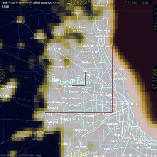
» NASA, Earths city lights 1995
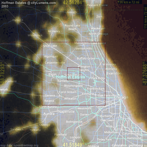
» NASA city lights 2003
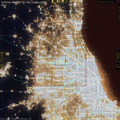
» Earth at Night: Flat Maps 2012, 2016