Streamwood night lights from space
Night Light of Streamwood (Illinois) from space (United States) Src. Average luminocity for 10x10km area is 82.9095% and for 50x50km: 71.9612%.
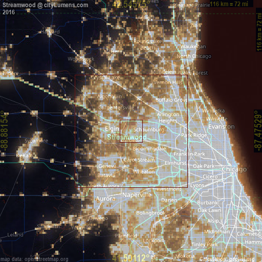
Analysis of Streamwood night lights 2016
Square area 10x10 km:
 17.3%
17.3%90-99
22.54%80-89
16.98%70-79
20.32%60-69
16.03%50-59
6.83%40-49
0%30-39
0%20-29
0%10-19
0%0-9
0%Square area 50x50 km:
17.35%90-99
17.7%80-89
12.1%70-79
10.8%60-69
12.59%50-59
10.45%40-49
6.1%30-39
3.19%20-29
3.53%10-19
3.89%0-9
2.29%Clear (daylight) street map image can be seen on geolist.org.
Map coordinates:
42° 32' 44.7" North, 88° 52' 53.5" West
42° 1' 32.1" North, 88° 10' 42.3" West
41° 30' 4" North, 87° 28' 31" West
Some cities around Streamwood sort by population:
• Elgin
8.6 km =5.3 mi,  278°
278°
• Schaumburg
7.9 km =4.9 mi,  83°
83°
• Hoffman Estates
8.4 km =5.2 mi, 76°
• Bartlett
3.4 km =2.1 mi,  189°
189°
• Hanover Park
4 km =2.5 mi,  136°
136°
• Roselle
9.3 km =5.8 mi,  119°
119°
• South Elgin
10 km =6.2 mi,  249°
249°
• Bloomingdale
11.1 km =6.9 mi,  133°
133°
4912691 (p: 40,554)
Sources (retrieved 2019-11-25):
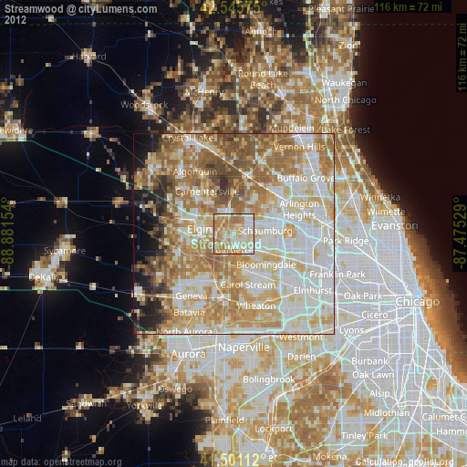
» Earth at Night: Flat Maps 2012, 2016