Rolling Meadows night lights from space
Night Light of Rolling Meadows (Illinois) from space (United States) Src. Average luminocity for 10x10km area is 93.8242% and for 50x50km: 75.5682%.
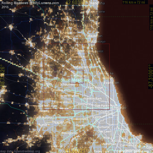
Analysis of Rolling Meadows night lights 2016
Square area 10x10 km:
 35.91%
90-99
37.58%80-89
18.64%70-79
7.42%60-69
0.45%50-59
0%40-49
0%30-39
0%20-29
0%10-19
0%0-9
0%Square area 50x50 km:
25.01%90-99
17.91%80-89
11.07%70-79
9.22%60-69
11.5%50-59
9.44%40-49
5.7%30-39
2.72%20-29
2.51%10-19
1.41%0-9
3.51%Clear (daylight) street map image can be seen on geolist.org.
Map coordinates:
42° 36' 13.9" North, 88° 42' 58.5" West
42° 5' 3.1" North, 88° 0' 47.3" West
41° 33' 36.8" North, 87° 18' 36" West
Some cities around Rolling Meadows sort by population:
• Arlington Heights
2.7 km =1.7 mi,  80°
80°
• Schaumburg
8.1 km =5 mi,  225°
225°
• Palatine
3.4 km =2.1 mi,  329°
329°
• Mount Prospect
6.6 km =4.1 mi,  107°
107°
• Hoffman Estates
7.2 km =4.5 mi, 230°
• Buffalo Grove
8.7 km =5.4 mi,  30°
30°
• Prospect Heights
6.4 km =4 mi, 78°
• Inverness
7.8 km =4.8 mi,  298°
298°
4908052 (p: 24,190)
Sources (retrieved 2019-11-25):
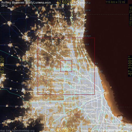
» Earth at Night: Flat Maps 2012, 2016