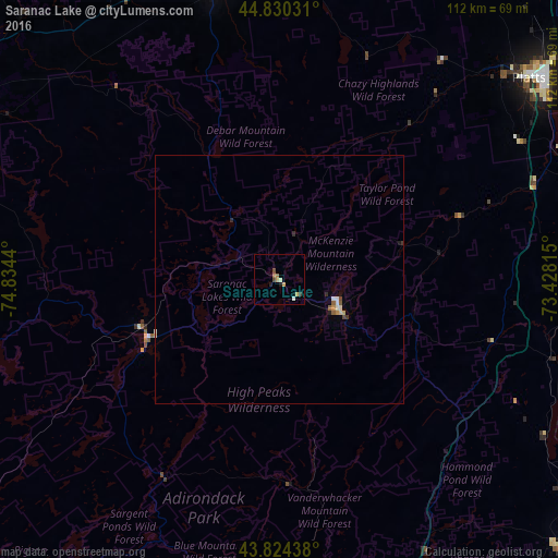
Saranac Lake night lights from space
Night Light of Saranac Lake (New York) from space (United States) Src. Average luminocity for 10x10km area is 5.3159% and for 50x50km: 0.6985%.
Analysis of Saranac Lake night lights 2016
Square area 10x10 km:
 0.32%
0.32%90-99
0.79%80-89
0.79%70-79
1.27%60-69
1.27%50-59
0%40-49
1.27%30-39
0.63%20-29
1.27%10-19
0%0-9
92.38%Square area 50x50 km:
0.06%90-99
0.12%80-89
0.1%70-79
0.11%60-69
0.05%50-59
0.1%40-49
0.1%30-39
0.08%20-29
0.14%10-19
0.05%0-9
99.09%Clear (daylight) street map image can be seen on geolist.org.
Map coordinates:
44° 49' 49.1" North, 74° 50' 3.8" West
44° 19' 46.2" North, 74° 7' 52.6" West
43° 49' 27.8" North, 73° 25' 41.3" West
Some cities around Saranac Lake sort by population:
• Burlington
74.8 km =46.5 mi,  77°
77°
• Plattsburgh
67.7 km =42.1 mi,  52°
52°
• South Burlington
77.8 km =48.3 mi, 78°
• Colchester
81.6 km =50.7 mi,  73°
73°
• Potsdam
77.3 km =48 mi,  299°
299°
• North Elba
17 km =10.6 mi,  124°
124°
• Winooski
77.2 km =48 mi, 76°
• Malone
59.2 km =36.8 mi,  347°
347°
5136322 (p: 5,274)
Sources (retrieved 2019-11-25):
» Earth at Night: Flat Maps 2012, 2016