Santa Monica night lights from space
Night Light of Santa Monica (California) from space (United States) Src. Average luminocity for 10x10km area is 70.3374% and for 50x50km: 55.7813%.
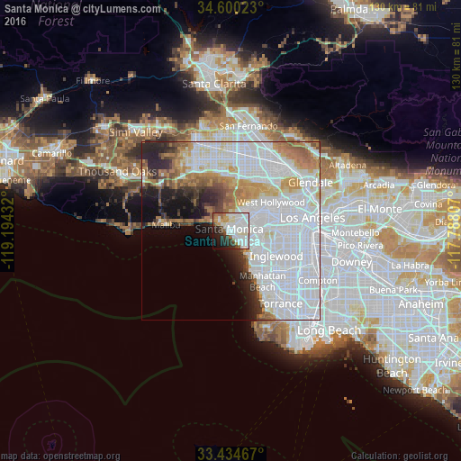

Analysis of Santa Monica night lights 2016
Square area 10x10 km:
 29.02%
90-99
20.98%80-89
4.2%70-79
5.59%60-69
5.77%50-59
4.2%40-49
2.97%30-39
5.24%20-29
10.66%10-19
8.39%0-9
2.97%Square area 50x50 km:
29.88%90-99
10.62%80-89
3.25%70-79
4.49%60-69
5.35%50-59
3.02%40-49
2.43%30-39
2.72%20-29
5.13%10-19
5.52%0-9
27.59%Clear (daylight) street map image can be seen on geolist.org.
Map coordinates:
34° 36' 0.8" North, 119° 11' 39.6" West
34° 1' 10" North, 118° 29' 28.3" West
33° 26' 4.8" North, 117° 47' 17.1" West
Some cities around Santa Monica sort by population:
• Venice
4.3 km =2.7 mi,  137°
137°
• Culver City
8.7 km =5.4 mi,  88°
88°
• Beverly Hills
10.3 km =6.4 mi,  54°
54°
• El Segundo
13.1 km =8.1 mi,  148°
148°
• Marina del Rey
5.7 km =3.5 mi, 140°
• Topanga
13.1 km =8.1 mi,  309°
309°
• Ladera Heights
11 km =6.8 mi,  104°
104°
• Century City
7.9 km =4.9 mi,  59°
59°
5393212 (p: 93,220)
Sources (retrieved 2019-11-25):
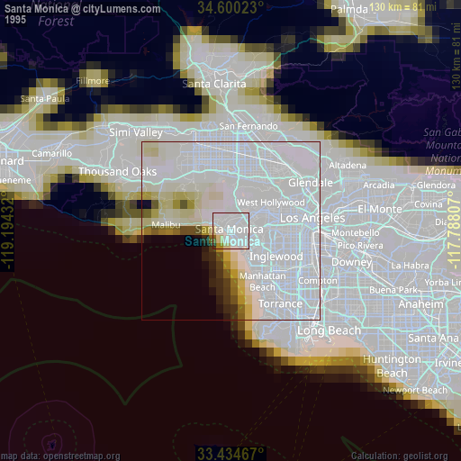
» NASA, Earths city lights 1995
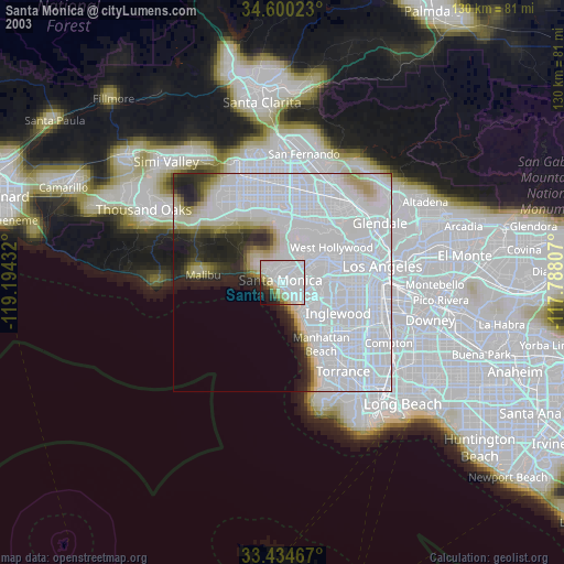
» NASA city lights 2003
» Earth at Night: Flat Maps 2012, 2016