Venice night lights from space
Night Light of Venice (California) from space (United States) Src. Average luminocity for 10x10km area is 75.4598% and for 50x50km: 58.0142%.
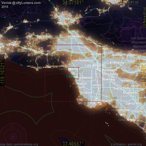
Analysis of Venice night lights 2016
Square area 10x10 km:
 32.52%
90-99
29.37%80-89
2.27%70-79
2.45%60-69
3.15%50-59
2.97%40-49
2.1%30-39
7.17%20-29
9.62%10-19
6.64%0-9
1.75%Square area 50x50 km:
33.09%90-99
10.82%80-89
3.03%70-79
4.29%60-69
5.4%50-59
2.65%40-49
2.26%30-39
2.3%20-29
3.77%10-19
5.06%0-9
27.33%Clear (daylight) street map image can be seen on geolist.org.
Map coordinates:
34° 34' 18.5" North, 119° 9' 47.6" West
33° 59' 27" North, 118° 27' 36.3" West
33° 24' 21.1" North, 117° 45' 25.1" West
Some cities around Venice sort by population:
• Inglewood
10.4 km =6.5 mi,  108°
108°
• Santa Monica
4.3 km =2.7 mi,  317°
317°
• Culver City
6.8 km =4.2 mi,  60°
60°
• El Segundo
8.9 km =5.5 mi,  153°
153°
• View Park-Windsor Hills
10.3 km =6.4 mi,  87°
87°
• Marina del Rey
1.4 km =0.9 mi, 146°
• Ladera Heights
7.8 km =4.8 mi, 87°
• Century City
8.2 km =5.1 mi,  28°
28°
5405841 (p: 40,885)
Sources (retrieved 2019-11-25):
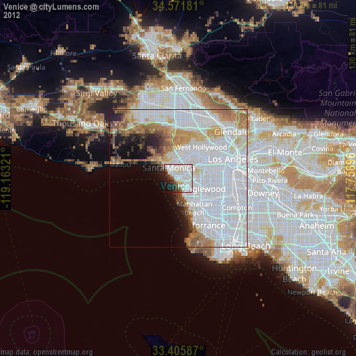
» Earth at Night: Flat Maps 2012, 2016