Ladera Heights night lights from space
Night Light of Ladera Heights (California) from space (United States) Src. Average luminocity for 10x10km area is 98.6906% and for 50x50km: 70.3799%.
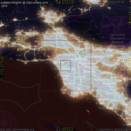
Analysis of Ladera Heights night lights 2016
Square area 10x10 km:
 64.69%
90-99
32.17%80-89
2.45%70-79
0.7%60-69
0%50-59
0%40-49
0%30-39
0%20-29
0%10-19
0%0-9
0%Square area 50x50 km:
41.34%90-99
15.35%80-89
4.19%70-79
4.38%60-69
5.02%50-59
2.34%40-49
1.71%30-39
1.89%20-29
2.74%10-19
3.35%0-9
17.69%Clear (daylight) street map image can be seen on geolist.org.
Map coordinates:
34° 34' 30.5" North, 119° 4' 42.5" West
33° 59' 39" North, 118° 22' 31.3" West
33° 24' 33.2" North, 117° 40' 20" West
Some cities around Ladera Heights sort by population:
• Inglewood
4.2 km =2.6 mi,  150°
150°
• Venice
7.8 km =4.8 mi,  267°
267°
• Culver City
3.6 km =2.2 mi,  326°
326°
• Lennox
6.6 km =4.1 mi,  161°
161°
• View Park-Windsor Hills
2.5 km =1.6 mi,  86°
86°
• Del Aire
8.7 km =5.4 mi,  176°
176°
• Marina del Rey
7.2 km =4.5 mi,  257°
257°
• Century City
7.9 km =4.9 mi, 330°
5364195 (p: 6,498)
Sources (retrieved 2019-11-25):
» Earth at Night: Flat Maps 2012, 2016