Hercules night lights from space
Night Light of Hercules (California) from space (United States) Src. Average luminocity for 10x10km area is 48.5341% and for 50x50km: 32.7285%.
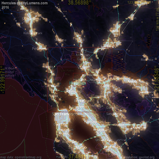
Analysis of Hercules night lights 2016
Square area 10x10 km:
 6.33%
6.33%90-99
6.98%80-89
5.19%70-79
9.9%60-69
7.47%50-59
8.6%40-49
11.36%30-39
5.84%20-29
18.34%10-19
14.77%0-9
5.19%Square area 50x50 km:
5.57%90-99
5.33%80-89
2.05%70-79
4.35%60-69
4.8%50-59
5.77%40-49
6.41%30-39
5.56%20-29
10.95%10-19
18.38%0-9
30.84%Clear (daylight) street map image can be seen on geolist.org.
Map coordinates:
38° 34' 8.3" North, 122° 59' 30.2" West
38° 1' 1.7" North, 122° 17' 18.9" West
37° 27' 40" North, 121° 35' 7.7" West
Some cities around Hercules sort by population:
• Vallejo
10.1 km =6.3 mi,  16°
16°
• Richmond
10.4 km =6.5 mi,  209°
209°
• San Pablo
7.9 km =4.9 mi,  219°
219°
• El Cerrito
11.5 km =7.1 mi,  190°
190°
• Pinole
1.7 km =1.1 mi, 212°
• El Sobrante
4.5 km =2.8 mi, 187°
• Rodeo
2.6 km =1.6 mi,  47°
47°
• Tara Hills
3.6 km =2.2 mi, 222°
5356451 (p: 25,314)
Sources (retrieved 2019-11-25):
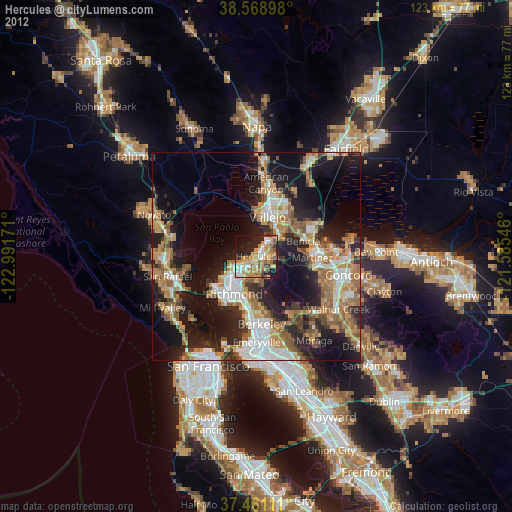
» Earth at Night: Flat Maps 2012, 2016