San Lorenzo night lights from space
Night Light of San Lorenzo (California) from space (United States) Src. Average luminocity for 10x10km area is 81.1616% and for 50x50km: 44.7747%.
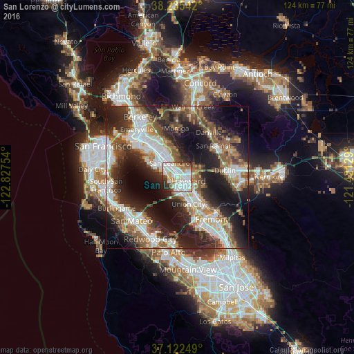
Analysis of San Lorenzo night lights 2016
Square area 10x10 km:
 25.85%
90-99
35.2%80-89
4.25%70-79
7.48%60-69
6.12%50-59
6.12%40-49
2.89%30-39
4.93%20-29
6.12%10-19
1.02%0-9
0%Square area 50x50 km:
10%90-99
9.35%80-89
2.56%70-79
4.82%60-69
6.01%50-59
7.91%40-49
7.04%30-39
6.12%20-29
13.59%10-19
17.92%0-9
14.69%Clear (daylight) street map image can be seen on geolist.org.
Map coordinates:
38° 14' 7.5" North, 122° 49' 39.1" West
37° 40' 51.7" North, 122° 7' 27.9" West
37° 7' 21" North, 121° 25' 16.6" West
Some cities around San Lorenzo sort by population:
• Hayward
4.1 km =2.5 mi,  109°
109°
• Alameda
13.9 km =8.6 mi,  312°
312°
• Union City
13.3 km =8.3 mi,  135°
135°
• Castro Valley
3.7 km =2.3 mi,  66°
66°
• Dublin
16.8 km =10.4 mi,  81°
81°
• Ashland
1.8 km =1.1 mi,  31°
31°
• Cherryland
1.9 km =1.2 mi,  95°
95°
• Fairview
6.9 km =4.3 mi,  92°
92°
5392281 (p: 23,452)
Sources (retrieved 2019-11-25):
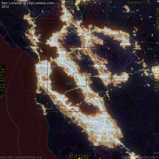
» Earth at Night: Flat Maps 2012, 2016