San Jacinto night lights from space
Night Light of San Jacinto (California) from space (United States) Src. Average luminocity for 10x10km area is 58.1758% and for 50x50km: 21.1526%.
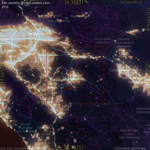
Analysis of San Jacinto night lights 2016
Square area 10x10 km:
 6.59%
6.59%90-99
10.81%80-89
6.04%70-79
14.65%60-69
14.29%50-59
12.64%40-49
8.06%30-39
4.03%20-29
8.24%10-19
13%0-9
1.65%Square area 50x50 km:
1.55%90-99
1.91%80-89
1.28%70-79
2.31%60-69
5.91%50-59
5.6%40-49
5.31%30-39
4.26%20-29
6.25%10-19
12.96%0-9
52.66%Clear (daylight) street map image can be seen on geolist.org.
Map coordinates:
34° 21' 58.7" North, 117° 39' 42.4" West
33° 47' 2.1" North, 116° 57' 31.1" West
33° 11' 51.1" North, 116° 15' 19.9" West
Some cities around San Jacinto sort by population:
• Menifee
18.4 km =11.4 mi,  250°
250°
• Hemet
4.3 km =2.7 mi,  198°
198°
• Beaumont
16.3 km =10.1 mi,  353°
353°
• Banning
17.5 km =10.9 mi,  25°
25°
• East Hemet
5.2 km =3.2 mi,  159°
159°
• Valle Vista
7.2 km =4.5 mi,  123°
123°
• Nuevo
17.4 km =10.8 mi,  276°
276°
• Homeland
14.6 km =9.1 mi, 251°
5392090 (p: 46,951)
Sources (retrieved 2019-11-25):
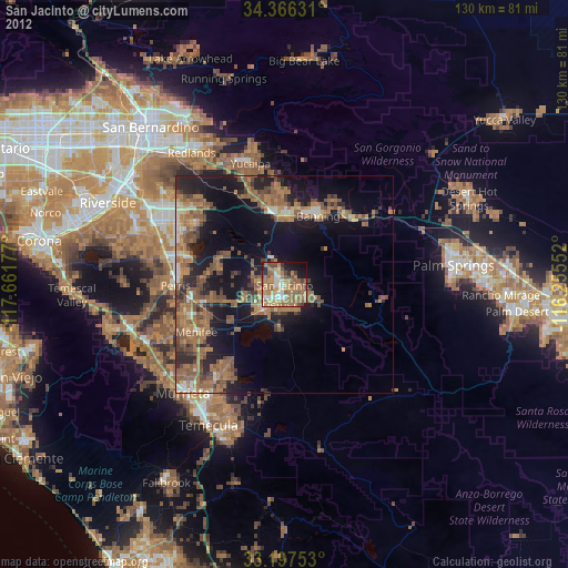
» Earth at Night: Flat Maps 2012, 2016