Beaumont night lights from space
Night Light of Beaumont (California) from space (United States) Src. Average luminocity for 10x10km area is 39.5822% and for 50x50km: 24.6833%.
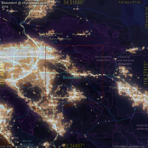
Analysis of Beaumont night lights 2016
Square area 10x10 km:
 1.92%
1.92%90-99
2.45%80-89
1.4%70-79
8.57%60-69
10.14%50-59
10.31%40-49
15.56%30-39
5.59%20-29
7.34%10-19
29.37%0-9
7.34%Square area 50x50 km:
2.56%90-99
3.29%80-89
1.84%70-79
3.1%60-69
6.36%50-59
5.48%40-49
5.43%30-39
4.25%20-29
6.16%10-19
12.46%0-9
49.07%Clear (daylight) street map image can be seen on geolist.org.
Map coordinates:
34° 30' 39.1" North, 117° 40' 49.4" West
33° 55' 46.1" North, 116° 58' 38.1" West
33° 20' 38.7" North, 116° 16' 26.9" West
Some cities around Beaumont sort by population:
• Hemet
20.2 km =12.6 mi,  178°
178°
• Yucaipa
13.1 km =8.1 mi,  332°
332°
• San Jacinto
16.3 km =10.1 mi,  173°
173°
• Banning
9.3 km =5.8 mi,  92°
92°
• Mentone
21.3 km =13.2 mi,  317°
317°
• Calimesa
11.4 km =7.1 mi, 316°
• Nuevo
21.1 km =13.1 mi,  227°
227°
• Cherry Valley
4.8 km =3 mi,  0°
0°
5327098 (p: 43,811)
Sources (retrieved 2019-11-25):
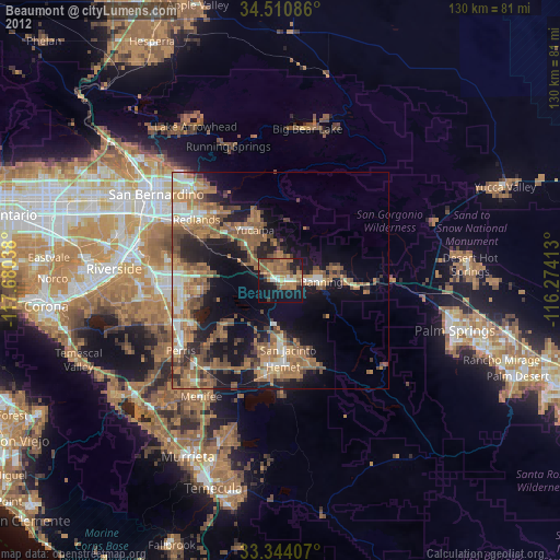
» Earth at Night: Flat Maps 2012, 2016