Banning night lights from space
Night Light of Banning (California) from space (United States) Src. Average luminocity for 10x10km area is 28.6171% and for 50x50km: 13.6011%.
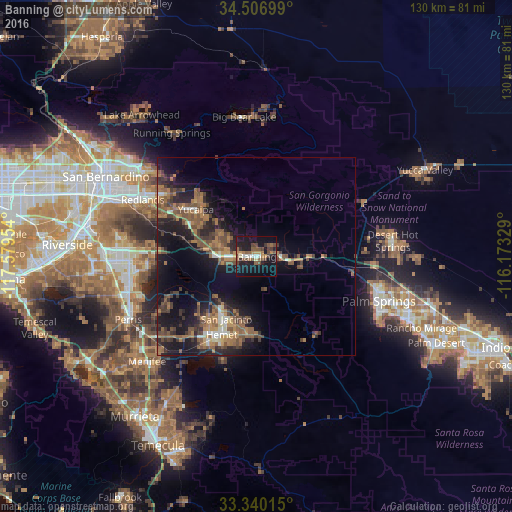
Analysis of Banning night lights 2016
Square area 10x10 km:
 2.62%
2.62%90-99
1.57%80-89
1.4%70-79
2.1%60-69
6.29%50-59
7.69%40-49
8.04%30-39
3.85%20-29
4.9%10-19
42.83%0-9
18.71%Square area 50x50 km:
0.67%90-99
0.89%80-89
0.66%70-79
1.31%60-69
4.02%50-59
3.69%40-49
3.28%30-39
2.74%20-29
3.89%10-19
11.87%0-9
66.99%Clear (daylight) street map image can be seen on geolist.org.
Map coordinates:
34° 30' 25.2" North, 117° 34' 46.3" West
33° 55' 32.1" North, 116° 52' 35.1" West
33° 20' 24.5" North, 116° 10' 23.8" West
Some cities around Banning sort by population:
• Hemet
21.7 km =13.5 mi,  204°
204°
• Yucaipa
19.5 km =12.1 mi,  308°
308°
• San Jacinto
17.5 km =10.9 mi,  205°
205°
• Beaumont
9.3 km =5.8 mi,  272°
272°
• East Hemet
21.4 km =13.3 mi, 195°
• Valle Vista
19.8 km =12.3 mi,  184°
184°
• Calimesa
19.2 km =11.9 mi,  296°
296°
• Cherry Valley
10.7 km =6.6 mi, 299°
5326032 (p: 30,945)
Sources (retrieved 2019-11-25):
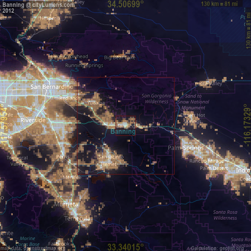
» Earth at Night: Flat Maps 2012, 2016