Salisbury night lights from space
Night Light of Salisbury (Maryland) from space (United States) Src. Average luminocity for 10x10km area is 61.9881% and for 50x50km: 7.5072%.
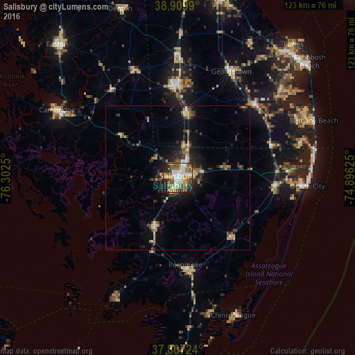
Analysis of Salisbury night lights 2016
Square area 10x10 km:
 11.73%
90-99
12.24%80-89
9.18%70-79
8.84%60-69
12.07%50-59
10.37%40-49
11.56%30-39
4.25%20-29
12.07%10-19
7.65%0-9
0%Square area 50x50 km:
0.74%90-99
0.76%80-89
0.84%70-79
1%60-69
1.17%50-59
1.18%40-49
1.32%30-39
1.61%20-29
2.35%10-19
4.51%0-9
84.53%Clear (daylight) street map image can be seen on geolist.org.
Map coordinates:
38° 54' 35.6" North, 76° 18' 9" West
38° 21' 38.4" North, 75° 35' 57.7" West
37° 48' 26.1" North, 74° 53' 46.5" West
Some cities around Salisbury sort by population:
• Easton
61.9 km =38.5 mi,  317°
317°
• Cambridge
47.4 km =29.5 mi,  298°
298°
• Ocean Pines
38.9 km =24.2 mi,  84°
84°
• Milford
63.1 km =39.2 mi,  13°
13°
• Seaford
31.2 km =19.4 mi,  358°
358°
• Ocean City
44.9 km =27.9 mi,  93°
93°
• Georgetown
41.1 km =25.5 mi,  26°
26°
• Fruitland
4.7 km =2.9 mi,  202°
202°
4368711 (p: 32,899)
Sources (retrieved 2019-11-25):
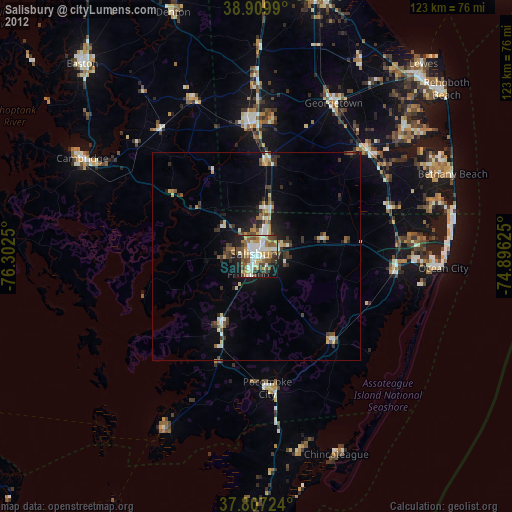
» Earth at Night: Flat Maps 2012, 2016