Sacramento night lights from space
Night Light of Sacramento (California) from space (United States) Src. Average luminocity for 10x10km area is 92.3734% and for 50x50km: 41.5234%.
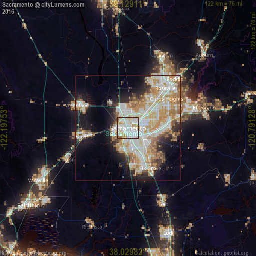
Analysis of Sacramento night lights 2016
Square area 10x10 km:
 35.23%
90-99
37.01%80-89
13.31%70-79
7.63%60-69
5.36%50-59
0.97%40-49
0.49%30-39
0%20-29
0%10-19
0%0-9
0%Square area 50x50 km:
10.06%90-99
11.04%80-89
5.08%70-79
7.31%60-69
5.77%50-59
3.07%40-49
2.71%30-39
3.09%20-29
4.84%10-19
10.3%0-9
36.72%Clear (daylight) street map image can be seen on geolist.org.
Map coordinates:
39° 7' 44.8" North, 122° 11' 51.1" West
38° 34' 53.7" North, 121° 29' 39.8" West
38° 1' 47.4" North, 120° 47' 28.6" West
Some cities around Sacramento sort by population:
• Arden-Arcade
10.3 km =6.4 mi,  76°
76°
• West Sacramento
3.1 km =1.9 mi,  267°
267°
• Florin
12.1 km =7.5 mi,  141°
141°
• Rosemont
11.8 km =7.3 mi,  106°
106°
• Rio Linda
12.8 km =8 mi,  18°
18°
• Parkway
10 km =6.2 mi,  161°
161°
• La Riviera
12.1 km =7.5 mi,  97°
97°
• Fruitridge Pocket
6.4 km =4 mi,  148°
148°
5389489 (p: 490,712)
Sources (retrieved 2019-11-25):
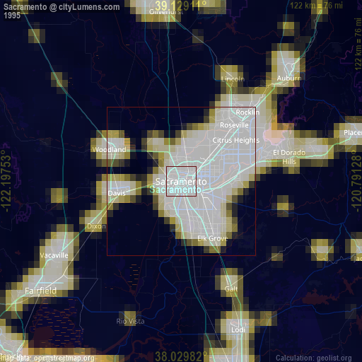
» NASA, Earths city lights 1995
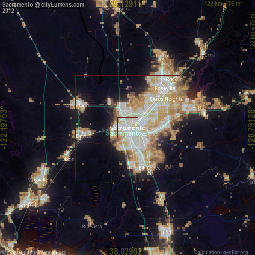
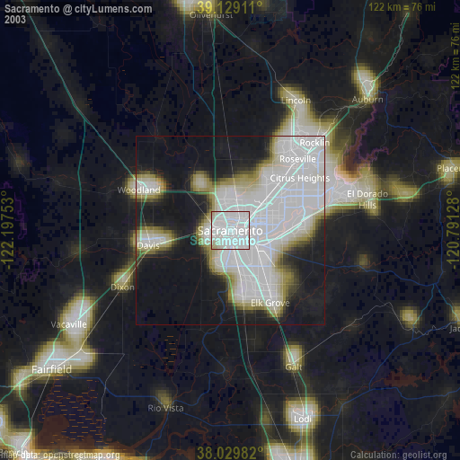
» NASA city lights 2003
» Earth at Night: Flat Maps 2012, 2016