Arden-Arcade night lights from space
Night Light of Arden-Arcade (California) from space (United States) Src. Average luminocity for 10x10km area is 91.0357% and for 50x50km: 43.5951%.
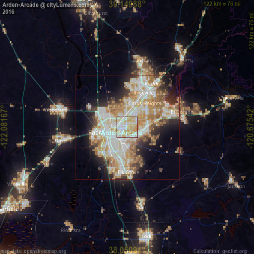
Analysis of Arden-Arcade night lights 2016
Square area 10x10 km:
 26.62%
90-99
33.6%80-89
25.49%70-79
12.66%60-69
1.62%50-59
0%40-49
0%30-39
0%20-29
0%10-19
0%0-9
0%Square area 50x50 km:
10.16%90-99
11.45%80-89
5.27%70-79
7.66%60-69
6.49%50-59
3.88%40-49
3.15%30-39
3.86%20-29
5.6%10-19
8.03%0-9
34.43%Clear (daylight) street map image can be seen on geolist.org.
Map coordinates:
39° 8' 59.6" North, 122° 4' 54" West
38° 36' 9" North, 121° 22' 42.7" West
38° 3' 3.3" North, 120° 40' 31.5" West
Some cities around Arden-Arcade sort by population:
• Sacramento
10.3 km =6.4 mi,  256°
256°
• Rancho Cordova
6.8 km =4.2 mi,  102°
102°
• Carmichael
4.7 km =2.9 mi,  69°
69°
• North Highlands
9.3 km =5.8 mi,  3°
3°
• Foothill Farms
8.8 km =5.5 mi,  15°
15°
• Rosemont
5.8 km =3.6 mi,  167°
167°
• La Riviera
4.4 km =2.7 mi,  154°
154°
• Fruitridge Pocket
10.3 km =6.4 mi,  220°
220°
7260806 (p: 92,186)
Sources (retrieved 2019-11-25):
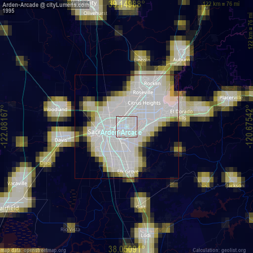
» NASA, Earths city lights 1995
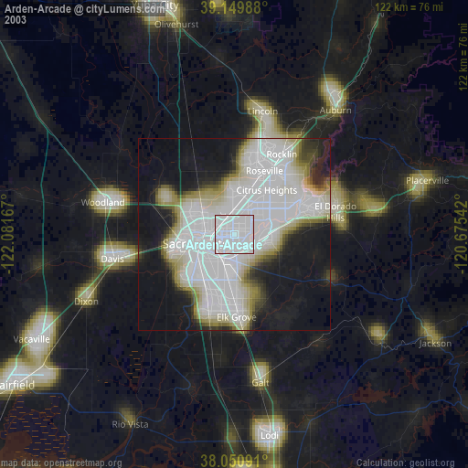
» NASA city lights 2003
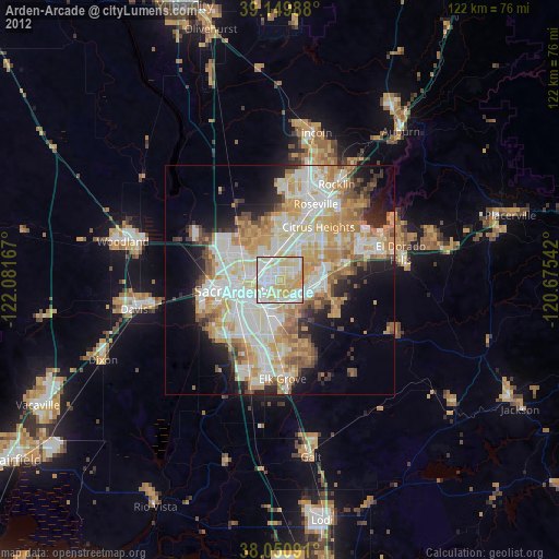
» Earth at Night: Flat Maps 2012, 2016