Round Rock night lights from space
Night Light of Round Rock (Texas) from space (United States) Src. Average luminocity for 10x10km area is 83.6319% and for 50x50km: 40.1672%.
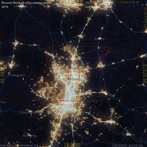
Analysis of Round Rock night lights 2016
Square area 10x10 km:
 18.13%
90-99
22.71%80-89
19.23%70-79
18.68%60-69
17.4%50-59
3.11%40-49
0.73%30-39
0%20-29
0%10-19
0%0-9
0%Square area 50x50 km:
5.86%90-99
6.2%80-89
5.65%70-79
6.87%60-69
8.53%50-59
7.85%40-49
6.07%30-39
5%20-29
7.76%10-19
10.62%0-9
29.58%Clear (daylight) street map image can be seen on geolist.org.
Map coordinates:
31° 6' 43.7" North, 98° 22' 55.3" West
30° 30' 29.7" North, 97° 40' 44" West
29° 54' 2.2" North, 96° 58' 32.8" West
Some cities around Round Rock sort by population:
• Cedar Park
13.5 km =8.4 mi,  268°
268°
• Georgetown
13.8 km =8.6 mi,  0°
0°
• Pflugerville
9.5 km =5.9 mi,  143°
143°
• Hutto
13.2 km =8.2 mi,  73°
73°
• Brushy Creek
5.9 km =3.7 mi,  275°
275°
• Jollyville
11.7 km =7.3 mi,  231°
231°
• Wells Branch
6.9 km =4.3 mi,  180°
180°
• Anderson Mill
13.5 km =8.4 mi,  244°
244°
4724129 (p: 115,997)
Sources (retrieved 2019-11-25):
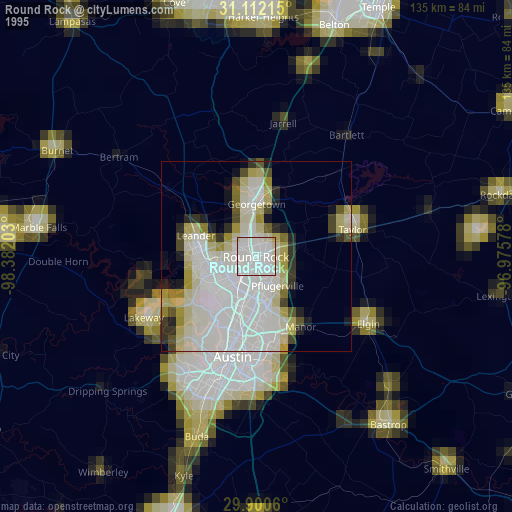
» NASA, Earths city lights 1995
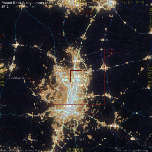
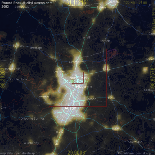
» NASA city lights 2003
» Earth at Night: Flat Maps 2012, 2016