Hutto night lights from space
Night Light of Hutto (Texas) from space (United States) Src. Average luminocity for 10x10km area is 36.4432% and for 50x50km: 29.6965%.
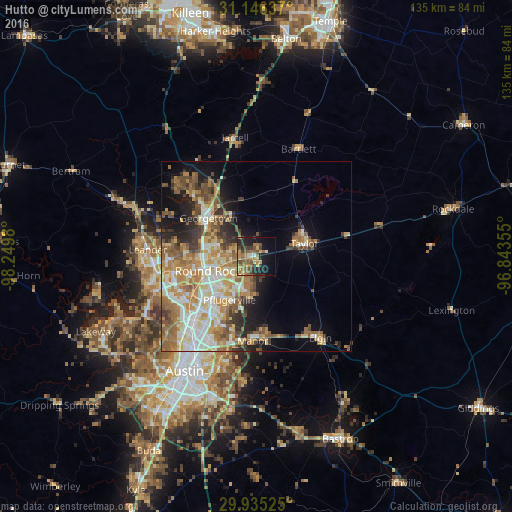
Analysis of Hutto night lights 2016
Square area 10x10 km:
 1.83%
1.83%90-99
1.1%80-89
4.4%70-79
6.96%60-69
11.36%50-59
10.99%40-49
6.04%30-39
5.31%20-29
12.27%10-19
19.23%0-9
20.51%Square area 50x50 km:
4.81%90-99
5.14%80-89
3.99%70-79
5.21%60-69
6.25%50-59
5.13%40-49
3.84%30-39
3.04%20-29
4.37%10-19
7.64%0-9
50.58%Clear (daylight) street map image can be seen on geolist.org.
Map coordinates:
31° 8' 46.9" North, 98° 14' 59.3" West
30° 32' 33.7" North, 97° 32' 48" West
29° 56' 6.9" North, 96° 50' 36.8" West
Some cities around Hutto sort by population:
• Round Rock
13.2 km =8.2 mi,  253°
253°
• Georgetown
16 km =9.9 mi,  308°
308°
• Pflugerville
13.5 km =8.4 mi,  211°
211°
• Brushy Creek
18.8 km =11.7 mi,  260°
260°
• Taylor
13.5 km =8.4 mi,  76°
76°
• Jollyville
24.5 km =15.2 mi,  243°
243°
• Wells Branch
16.7 km =10.4 mi,  229°
229°
• Manor
22.5 km =14 mi,  182°
182°
4699626 (p: 22,722)
Sources (retrieved 2019-11-25):
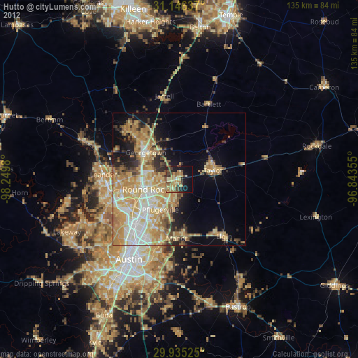
» Earth at Night: Flat Maps 2012, 2016