Rancho Cordova night lights from space
Night Light of Rancho Cordova (California) from space (United States) Src. Average luminocity for 10x10km area is 80.586% and for 50x50km: 44.2516%.
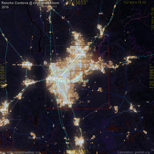
Analysis of Rancho Cordova night lights 2016
Square area 10x10 km:
 18.99%
90-99
22.89%80-89
11.2%70-79
22.73%60-69
10.06%50-59
5.52%40-49
4.22%30-39
3.41%20-29
0.97%10-19
0%0-9
0%Square area 50x50 km:
10.14%90-99
11.39%80-89
5.32%70-79
7.81%60-69
6.66%50-59
4.23%40-49
3.48%30-39
3.98%20-29
6.07%10-19
8.36%0-9
32.57%Clear (daylight) street map image can be seen on geolist.org.
Map coordinates:
39° 8' 11.6" North, 122° 0' 21.1" West
38° 35' 20.7" North, 121° 18' 9.8" West
38° 2' 14.6" North, 120° 35' 58.6" West
Some cities around Rancho Cordova sort by population:
• Arden-Arcade
6.8 km =4.2 mi,  282°
282°
• Carmichael
3.8 km =2.4 mi,  324°
324°
• Orangevale
12 km =7.5 mi,  33°
33°
• Foothill Farms
10.8 km =6.7 mi,  337°
337°
• Fair Oaks
6.7 km =4.2 mi,  23°
23°
• Rosemont
6.8 km =4.2 mi,  232°
232°
• La Riviera
5.3 km =3.3 mi,  242°
242°
• Gold River
6.4 km =4 mi,  49°
49°
5385941 (p: 71,017)
Sources (retrieved 2019-11-25):
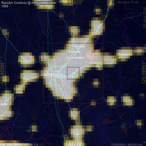
» NASA, Earths city lights 1995
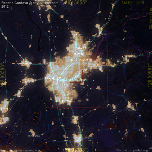
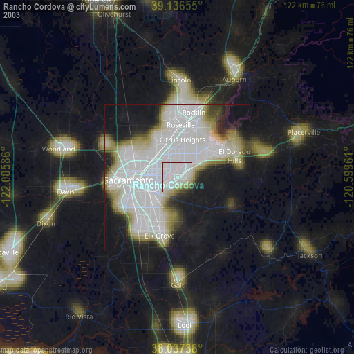
» NASA city lights 2003
» Earth at Night: Flat Maps 2012, 2016