Inkster night lights from space
Night Light of Inkster (Michigan) from space (United States) Src. Average luminocity for 10x10km area is 97.1% and for 50x50km: 69.4196%.
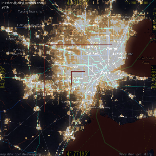
Analysis of Inkster night lights 2016
Square area 10x10 km:
 38.79%
90-99
53.94%80-89
6.06%70-79
1.21%60-69
0%50-59
0%40-49
0%30-39
0%20-29
0%10-19
0%0-9
0%Square area 50x50 km:
27.68%90-99
18.55%80-89
6.55%70-79
6.84%60-69
7.38%50-59
5.5%40-49
3.87%30-39
3.2%20-29
5.89%10-19
5.85%0-9
8.68%Clear (daylight) street map image can be seen on geolist.org.
Map coordinates:
42° 48' 43.7" North, 84° 0' 47" West
42° 17' 39.1" North, 83° 18' 35.7" West
41° 46' 19" North, 82° 36' 24.5" West
Some cities around Inkster sort by population:
• Livonia
9 km =5.6 mi,  336°
336°
• Westland
8.1 km =5 mi,  294°
294°
• Taylor
6.8 km =4.2 mi,  150°
150°
• Dearborn Heights
5.6 km =3.5 mi,  32°
32°
• Redford
10 km =6.2 mi,  6°
6°
• Allen Park
9.1 km =5.7 mi,  116°
116°
• Garden City
3.9 km =2.4 mi,  333°
333°
• Wayne
6.4 km =4 mi,  257°
257°
4832554 (p: 24,672)
Sources (retrieved 2019-11-25):
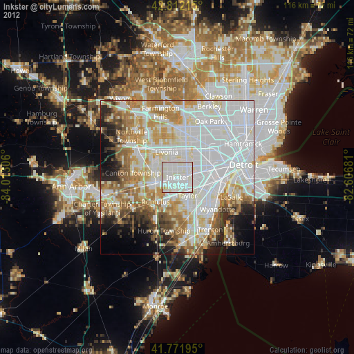
» Earth at Night: Flat Maps 2012, 2016