Syracuse night lights from space
Night Light of Syracuse (New York) from space (United States) Src. Average luminocity for 10x10km area is 88.9476% and for 50x50km: 16.7613%.
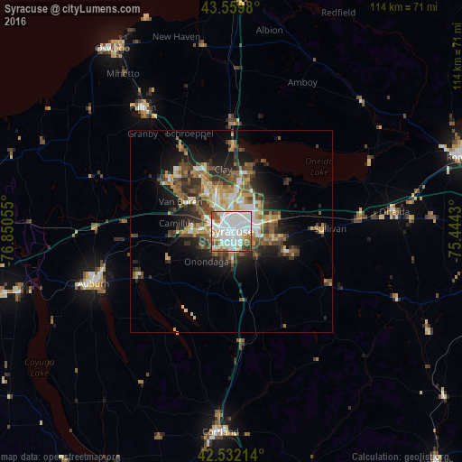

Analysis of Syracuse night lights 2016
Square area 10x10 km:
 40.48%
90-99
31.43%80-89
6.83%70-79
2.86%60-69
5.56%50-59
6.67%40-49
4.13%30-39
1.9%20-29
0.16%10-19
0%0-9
0%Square area 50x50 km:
2.75%90-99
3%80-89
2.03%70-79
2.11%60-69
2%50-59
2.72%40-49
3.05%30-39
2.75%20-29
3.92%10-19
7.33%0-9
68.34%Clear (daylight) street map image can be seen on geolist.org.
Map coordinates:
43° 33' 35.3" North, 76° 51' 2" West
43° 2' 53.2" North, 76° 8' 50.7" West
42° 31' 55.7" North, 75° 26' 39.5" West
Some cities around Syracuse sort by population:
• Auburn
36.4 km =22.6 mi,  249°
249°
• Fairmount
7.4 km =4.6 mi,  269°
269°
• Baldwinsville
19.4 km =12.1 mi,  309°
309°
• North Syracuse
9.7 km =6 mi,  8°
8°
• Mattydale
5.5 km =3.4 mi,  1°
1°
• Solvay
5 km =3.1 mi,  282°
282°
• Volney
36.9 km =22.9 mi,  332°
332°
• Centerport
36.2 km =22.5 mi, 268°
5140405 (p: 144,142)
Sources (retrieved 2019-11-25):
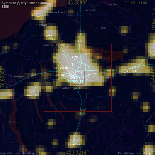
» NASA, Earths city lights 1995
» NASA city lights 2003
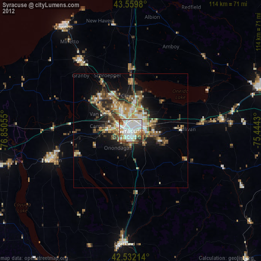
» Earth at Night: Flat Maps 2012, 2016