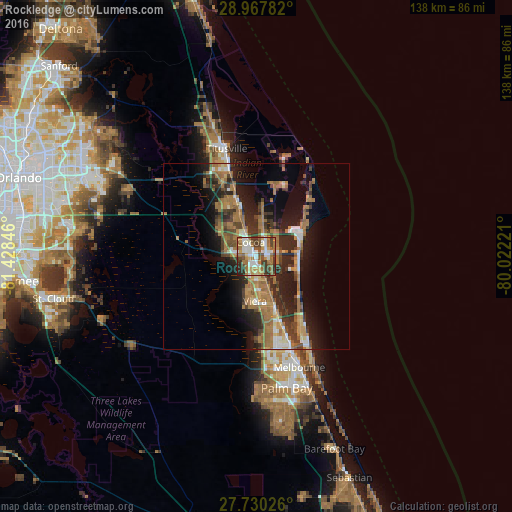
Rockledge night lights from space
Night Light of Rockledge (Florida) from space (United States) Src. Average luminocity for 10x10km area is 68.9345% and for 50x50km: 19.7055%.

Analysis of Rockledge night lights 2016
Square area 10x10 km:
 12.7%
12.7%90-99
18.25%80-89
5.75%70-79
8.33%60-69
20.24%50-59
10.52%40-49
10.12%30-39
9.33%20-29
4.76%10-19
0%0-9
0%Square area 50x50 km:
1.78%90-99
2.17%80-89
1.25%70-79
2.24%60-69
7.6%50-59
2.96%40-49
2.98%30-39
3.75%20-29
6.4%10-19
10.59%0-9
58.28%Clear (daylight) street map image can be seen on geolist.org.
Map coordinates:
28° 58' 4.2" North, 81° 25' 42.5" West
28° 21' 3" North, 80° 43' 31.2" West
27° 43' 48.9" North, 80° 1' 20" West
Some cities around Rockledge sort by population:
• Cocoa
4.2 km =2.6 mi,  337°
337°
• Port Saint John
15.3 km =9.5 mi, 336°
• Cocoa Beach
11.9 km =7.4 mi,  106°
106°
• Viera East
9.9 km =6.2 mi,  173°
173°
• Cape Canaveral
13.3 km =8.3 mi,  62°
62°
• Viera West
11.8 km =7.3 mi,  184°
184°
• Cocoa West
4.6 km =2.9 mi,  282°
282°
• South Patrick Shores
20 km =12.4 mi,  145°
145°
4170358 (p: 24,926)
Sources (retrieved 2019-11-25):
» Earth at Night: Flat Maps 2012, 2016