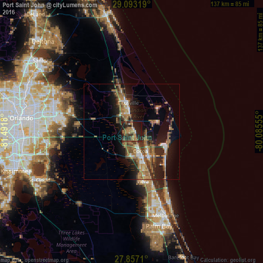
Port Saint John night lights from space
Night Light of Port Saint John (Florida) from space (United States) Src. Average luminocity for 10x10km area is 41.6528% and for 50x50km: 17.3743%.
Analysis of Port Saint John night lights 2016
Square area 10x10 km:
 1.79%
1.79%90-99
1.98%80-89
1.79%70-79
3.17%60-69
25.2%50-59
5.75%40-49
6.55%30-39
9.52%20-29
23.81%10-19
19.05%0-9
1.39%Square area 50x50 km:
1.46%90-99
1.83%80-89
0.83%70-79
1.7%60-69
7.21%50-59
2.52%40-49
2.64%30-39
3.2%20-29
5.7%10-19
10.51%0-9
62.4%Clear (daylight) street map image can be seen on geolist.org.
Map coordinates:
29° 5' 35.5" North, 81° 29' 30.5" West
28° 28' 37" North, 80° 47' 19.2" West
27° 51' 25.6" North, 80° 5' 8" West
Some cities around Port Saint John sort by population:
• Titusville
15.2 km =9.4 mi,  353°
353°
• Merritt Island
13.3 km =8.3 mi,  58°
58°
• Rockledge
15.3 km =9.5 mi,  156°
156°
• Cocoa
11.1 km =6.9 mi, 155°
• Cocoa Beach
24.7 km =15.3 mi,  134°
134°
• Cape Canaveral
19.6 km =12.2 mi,  113°
113°
• Mims
21.6 km =13.4 mi, 345°
• Cocoa West
13.2 km =8.2 mi,  172°
172°
4169170 (p: 12,267)
Sources (retrieved 2019-11-25):
» Earth at Night: Flat Maps 2012, 2016