Cocoa night lights from space
Night Light of Cocoa (Florida) from space (United States) Src. Average luminocity for 10x10km area is 67.2321% and for 50x50km: 19.1314%.
Analysis of Cocoa night lights 2016
Square area 10x10 km:
 11.71%
90-99
17.66%80-89
3.57%70-79
8.13%60-69
18.85%50-59
13.49%40-49
12.3%30-39
10.32%20-29
3.97%10-19
0%0-9
0%Square area 50x50 km:
1.56%90-99
1.98%80-89
1.09%70-79
2.26%60-69
7.74%50-59
2.66%40-49
2.87%30-39
3.63%20-29
6.61%10-19
10.66%0-9
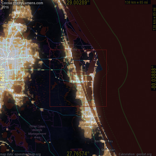
58.94%Clear (daylight) street map image can be seen on geolist.org.
Map coordinates:
29° 0' 10.4" North, 81° 26' 42.5" West
28° 23' 10" North, 80° 44' 31.2" West
27° 45' 56.7" North, 80° 2' 20" West
Some cities around Cocoa sort by population:
• Titusville
25.9 km =16.1 mi,  345°
345°
• Merritt Island
18.3 km =11.4 mi,  21°
21°
• Rockledge
4.2 km =2.6 mi,  157°
157°
• Port Saint John
11.1 km =6.9 mi,  335°
335°
• Viera East
14 km =8.7 mi,  168°
168°
• Cape Canaveral
13.6 km =8.5 mi,  80°
80°
• Viera West
15.7 km =9.8 mi,  177°
177°
• South Patrick Shores
24.2 km =15 mi,  147°
147°
4151440 (p: 17,711)
Sources (retrieved 2019-11-25):
» Earth at Night: Flat Maps 2012, 2016