Rock Hill night lights from space
Night Light of Rock Hill (South Carolina) from space (United States) Src. Average luminocity for 10x10km area is 82.3736% and for 50x50km: 38.3803%.
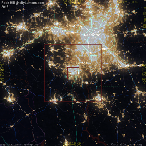
Analysis of Rock Hill night lights 2016
Square area 10x10 km:
 25.46%
90-99
25.27%80-89
14.47%70-79
9.34%60-69
9.16%50-59
7.33%40-49
4.03%30-39
4.58%20-29
0.37%10-19
0%0-9
0%Square area 50x50 km:
5.69%90-99
6.52%80-89
7.48%70-79
7.07%60-69
7.1%50-59
4.66%40-49
4.25%30-39
4.73%20-29
5.86%10-19
12.94%0-9
33.7%Clear (daylight) street map image can be seen on geolist.org.
Map coordinates:
35° 29' 57.6" North, 81° 43' 41.6" West
34° 55' 29.5" North, 81° 1' 30.3" West
34° 20' 46.9" North, 80° 19' 19.1" West
Some cities around Rock Hill sort by population:
• Fort Mill
11.7 km =7.3 mi,  38°
38°
• Waxhaw
25.7 km =16 mi,  90°
90°
• Weddington
26.4 km =16.4 mi,  65°
65°
• Tega Cay
11.1 km =6.9 mi,  358°
358°
• Lake Wylie
20.5 km =12.7 mi, 355°
• Pineville
21.4 km =13.3 mi,  34°
34°
• York
21.2 km =13.2 mi,  291°
291°
• Marvin
20.6 km =12.8 mi, 68°
4593142 (p: 71,548)
Sources (retrieved 2019-11-25):
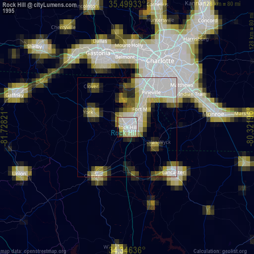
» NASA, Earths city lights 1995
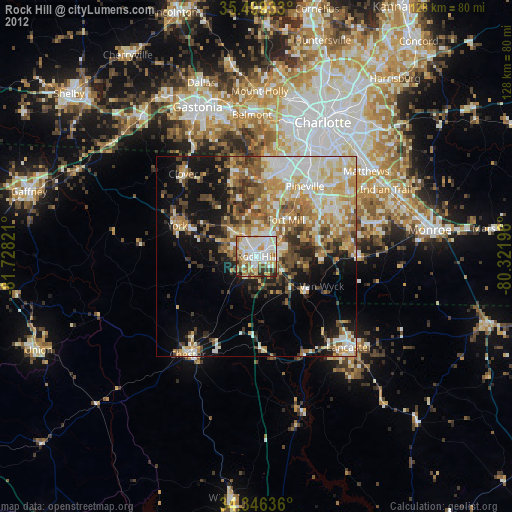
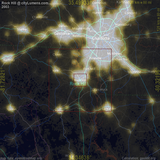
» NASA city lights 2003
» Earth at Night: Flat Maps 2012, 2016