Corinth night lights from space
Night Light of Corinth (Mississippi) from space (United States) Src. Average luminocity for 10x10km area is 59.2711% and for 50x50km: 5.9967%.
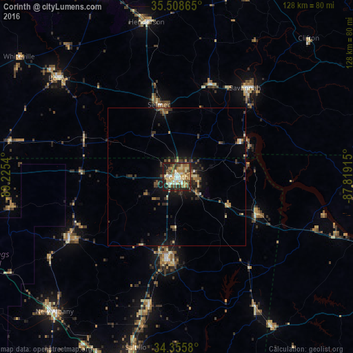
Analysis of Corinth night lights 2016
Square area 10x10 km:
 7.51%
7.51%90-99
9.89%80-89
15.2%70-79
10.26%60-69
8.97%50-59
8.97%40-49
8.97%30-39
6.23%20-29
15.38%10-19
8.61%0-9
0%Square area 50x50 km:
0.34%90-99
0.56%80-89
0.92%70-79
0.72%60-69
0.74%50-59
0.92%40-49
1.06%30-39
1.71%20-29
1.87%10-19
3.98%0-9
87.19%Clear (daylight) street map image can be seen on geolist.org.
Map coordinates:
35° 30' 31.1" North, 89° 13' 31.4" West
34° 56' 3.3" North, 88° 31' 20.2" West
34° 21' 20.9" North, 87° 49' 8.9" West
Some cities around Corinth sort by population:
• Tupelo
77 km =47.8 mi,  192°
192°
• New Albany
66.1 km =41.1 mi,  222°
222°
• Booneville
31 km =19.3 mi, 187°
• Savannah
40.8 km =25.4 mi,  37°
37°
• Henderson
57.2 km =35.5 mi,  349°
349°
• Ripley
45.2 km =28.1 mi,  239°
239°
• Bolivar
55.5 km =34.5 mi,  310°
310°
• Saltillo
63.7 km =39.6 mi, 193°
4422713 (p: 14,866)
Sources (retrieved 2019-11-25):
» Earth at Night: Flat Maps 2012, 2016