Coram night lights from space
Night Light of Coram (New York) from space (United States) Src. Average luminocity for 10x10km area is 70.5221% and for 50x50km: 31.5456%.
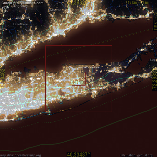
Analysis of Coram night lights 2016
Square area 10x10 km:
 7.14%
7.14%90-99
10.54%80-89
12.07%70-79
16.67%60-69
26.53%50-59
18.2%40-49
6.12%30-39
2.21%20-29
0.51%10-19
0%0-9
0%Square area 50x50 km:
4.07%90-99
5.41%80-89
4.55%70-79
6.46%60-69
6.24%50-59
5.56%40-49
4.27%30-39
3.11%20-29
5.53%10-19
11.5%0-9
43.3%Clear (daylight) street map image can be seen on geolist.org.
Map coordinates:
41° 23' 53.8" North, 73° 42' 16.6" West
40° 52' 7.4" North, 73° 0' 5.4" West
40° 20' 5.5" North, 72° 17' 54.1" West
Some cities around Coram sort by population:
• Medford
5.7 km =3.5 mi,  178°
178°
• Selden
2.9 km =1.8 mi,  265°
265°
• Holtsville
7 km =4.3 mi,  211°
211°
• Farmingville
4.8 km =3 mi, 209°
• Terryville
7 km =4.3 mi,  309°
309°
• Middle Island
5.7 km =3.5 mi,  72°
72°
• Port Jefferson Station
7.4 km =4.6 mi,  328°
328°
• Yaphank
7.9 km =4.9 mi,  116°
116°
5113694 (p: 39,113)
Sources (retrieved 2019-11-25):
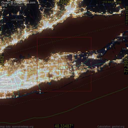
» Earth at Night: Flat Maps 2012, 2016