Richton Park night lights from space
Night Light of Richton Park (Illinois) from space (United States) Src. Average luminocity for 10x10km area is 81.7534% and for 50x50km: 53.5494%.
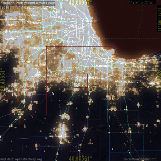
Analysis of Richton Park night lights 2016
Square area 10x10 km:
 19.22%
90-99
22.28%80-89
12.59%70-79
18.37%60-69
14.8%50-59
10.54%40-49
2.04%30-39
0.17%20-29
0%10-19
0%0-9
0%Square area 50x50 km:
15.36%90-99
12.39%80-89
7.47%70-79
7.98%60-69
8.26%50-59
6.78%40-49
3.17%30-39
2.87%20-29
3.83%10-19
6.28%0-9
25.6%Clear (daylight) street map image can be seen on geolist.org.
Map coordinates:
42° 0' 32.7" North, 88° 24' 23.4" West
41° 29' 4.1" North, 87° 42' 12.2" West
40° 57' 20.2" North, 87° 0' 0.9" West
Some cities around Richton Park sort by population:
• Chicago Heights
6.1 km =3.8 mi,  66°
66°
• Park Forest
2.5 km =1.6 mi, 72°
• Matteson
2.3 km =1.4 mi,  339°
339°
• Steger
5.8 km =3.6 mi,  106°
106°
• Flossmoor
6.7 km =4.2 mi,  13°
13°
• Crete
7.5 km =4.7 mi,  126°
126°
• University Park
4.9 km =3 mi,  160°
160°
• Monee
7.8 km =4.8 mi,  204°
204°
4907514 (p: 13,695)
Sources (retrieved 2019-11-25):
» Earth at Night: Flat Maps 2012, 2016