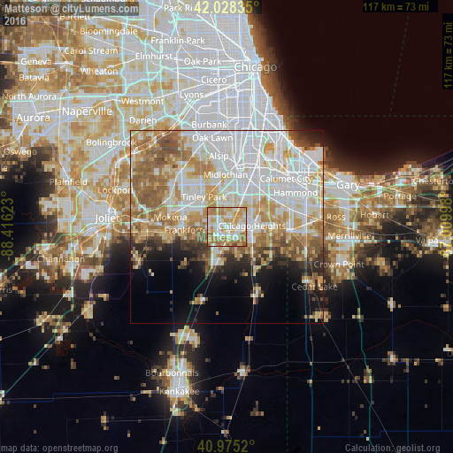
Matteson night lights from space
Night Light of Matteson (Illinois) from space (United States) Src. Average luminocity for 10x10km area is 83.7092% and for 50x50km: 56.6316%.
Analysis of Matteson night lights 2016
Square area 10x10 km:
 17.69%
90-99
24.66%80-89
12.76%70-79
23.81%60-69
17.52%50-59
3.23%40-49
0.34%30-39
0%20-29
0%10-19
0%0-9
0%Square area 50x50 km:
17.75%90-99
12.78%80-89
7.58%70-79
8.12%60-69
8.44%50-59
6.91%40-49
3.24%30-39
2.8%20-29
3.85%10-19
6%0-9
22.54%Clear (daylight) street map image can be seen on geolist.org.
Map coordinates:
42° 1' 42.1" North, 88° 24' 58.4" West
41° 30' 14.1" North, 87° 42' 47.2" West
40° 58' 30.7" North, 87° 0' 35.9" West
Some cities around Matteson sort by population:
• Chicago Heights
6.5 km =4 mi,  87°
87°
• Park Forest
3.5 km =2.2 mi,  113°
113°
• Homewood
7.1 km =4.4 mi,  33°
33°
• Country Club Hills
7.2 km =4.5 mi,  355°
355°
• Richton Park
2.3 km =1.4 mi,  159°
159°
• Steger
7.4 km =4.6 mi,  120°
120°
• Flossmoor
4.9 km =3 mi, 28°
• University Park
7.2 km =4.5 mi, 160°
4901445 (p: 19,195)
Sources (retrieved 2019-11-25):
» Earth at Night: Flat Maps 2012, 2016